A gentle introduction to the Dolomites
Accessible high mountains for the family

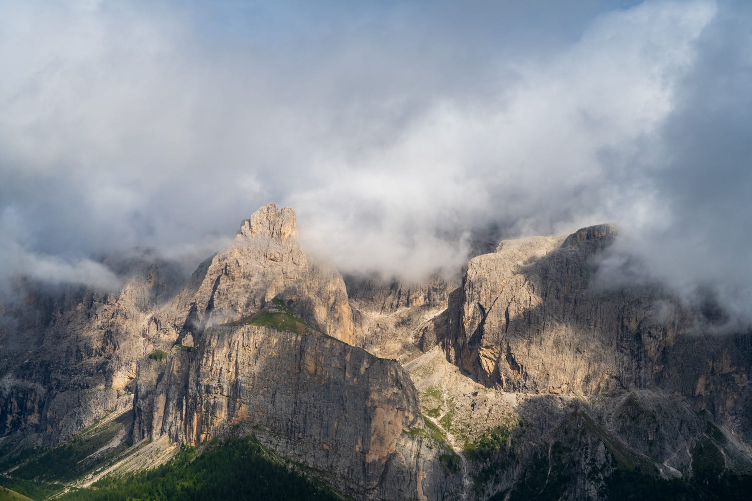
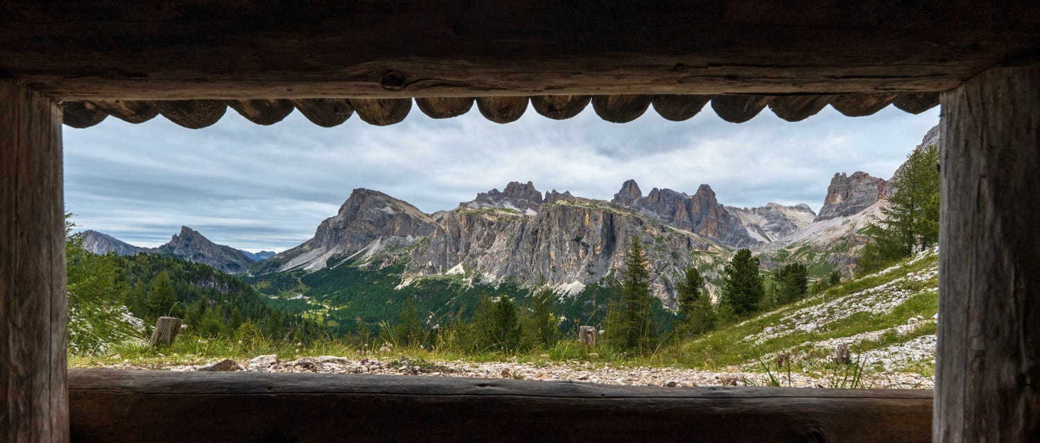
The Dolomites are a mountain range in northeastern Italy. They form part of the Southern Limestone Alps and extend from the River Adige in the west to the Piave Valley. The limestone (Calcium Carbonate) primarily came from coral reefs. The mountains have been around for nearly 250 million years. Limestone, primarily composed of calcium carbonate, can be transformed into dolomite through a geological process called dolomitization. This occurs when magnesium-rich fluids, often seawater or groundwater, interact with the limestone, causing magnesium ions to replace some of the calcium ions in the calcite mineral structure. This process results in the formation of dolomite, a mineral composed of calcium and magnesium carbonate. This does two things to these mountain ranges, the mountains are lighter in color (they are called the “pale mountains”) and since they are more porous, they form some astonishing shapes and formations over the years.
As with any great mountain range, you can spend a lifetime exploring the Dolomites, but given the limitations of time and money, this is a gentle introduction to the Dolomites.
I think there are three kinds of trips one can do in the Dolomites.
Family trips: Not everyone in the family can hike for days. The Dolomites hit the sweet spot of making the mountains accessible. There are a lot of ski resorts in the area, which means that there are cable cars and chair lifts everywhere. You can get to the high mountains very quickly. They are also fairly low (as compared to the high sierra) ~9,000 feet or thereabouts (some areas have higher mountains), so the risk of AMS is low.
Photography trips: I can easily spend a month in the Dolomites chasing good light and looking for unique vantage points with limited hiking.
Backpacking trips: There are a series of “huts” all over the dolomites. There are multiple “hut to hut” hiking routes, called “Alta Via” routes. The “Alta Via 1” is the most popular through hike. https://en.wikipedia.org/wiki/Alta_Via_1. In such hikes, you reserve overnight stays at these huts so you are only day hiking between these huts daily. You can even ship your daily supplies (snacks, clothes) between huts. All these huts are accessible either via cable cars or by road. You get to a hut, take a bath, get hot food and have access to running water. This is a popular option for hikers who want to experience the wilderness without having to carry your shelter and all the food you need.
I did a family trip this past month (#1 above) to the Dolomites. It was also a scouting trip for “Alta Via 1”, which is in my bucket list.
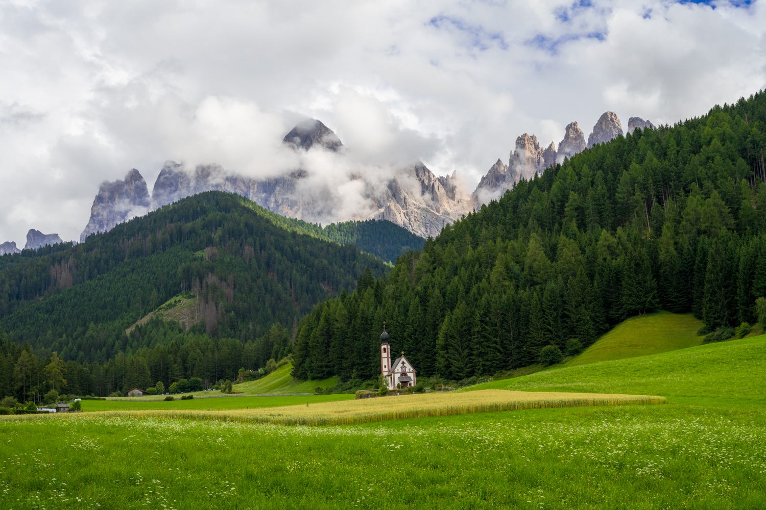
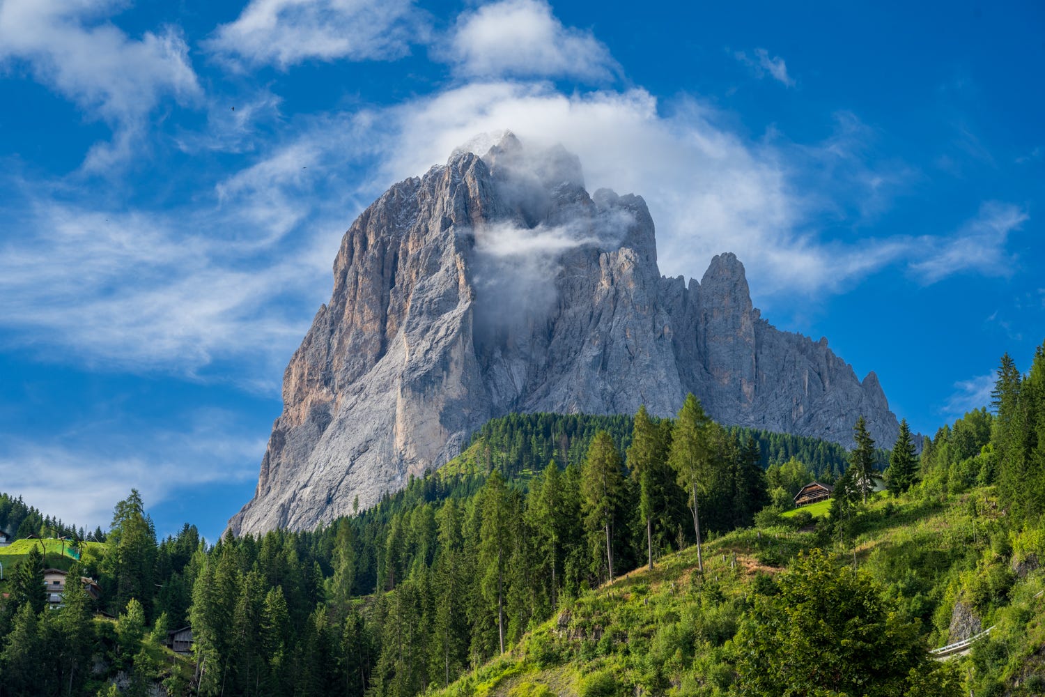
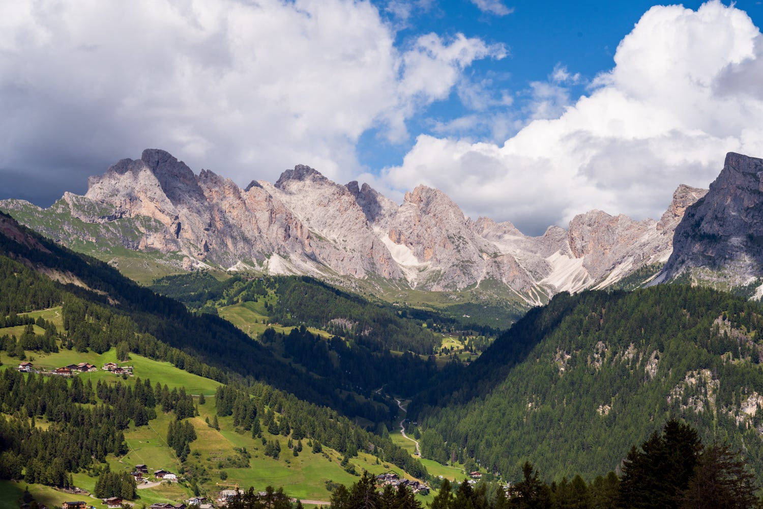
South Tyrol and Val di Funes
Val di Funes, is a picturesque valley located in South Tyrol, northern Italy, within the Dolomites mountain range. It's renowned for its stunning alpine scenery, including the dramatic Odle/Geisler mountain range, charming villages, and iconic locations like the Church of St. Magdalena. The valley offers a serene atmosphere, perfect for hiking, cycling, and experiencing the beauty of nature, making it a popular destination for tourists seeking tranquility and breathtaking views. I only spent an evening in this area. It is wonderfully green with some spectacular scenery.
The Adolf Munkel Trail is very popular in this area: https://www.alltrails.com/trail/italy/south-tyrol/via-delle-odle-zanser-alm-rifugio-delle-odle-malga-dusler. I wish I had stayed a day extra in this area and hiked this trail. However, it rained heavily during my visit (the Dolomites are similar to the High Sierra, you need to be prepared for all weather even in Summer - in fact it snowed one of the nights at the summits). There are multiple hotels to stay in Val di Funes. This is a great place to stay to explore South Tyrol.
Val Gardena
I stayed 3 nights in the Val Gardena area, in the village of St. Cristina. There are 3 villages in the Val Gardena area. Oretesi, St. Cristina and Selva. All have comfortable places to stay and numerous cable cars to explore the high mountains.
The three villages are connected to each other by a very good public bus that runs every 20 minutes in either direction. Most hotels give you free unlimited bus pass. Furthermore, you can buy a 3 day or 5 day unlimited cable car pass for all of Val Gardena. There are numerous cable cars in the area: https://www.valgardena.it/en/summer-holidays-dolomites/lifts/, we bought the 3 day unlimited cable car ticket for Eur 118 per person. There is no need to buy these tickets in advance or online. You can buy them at any of the cable car stations.
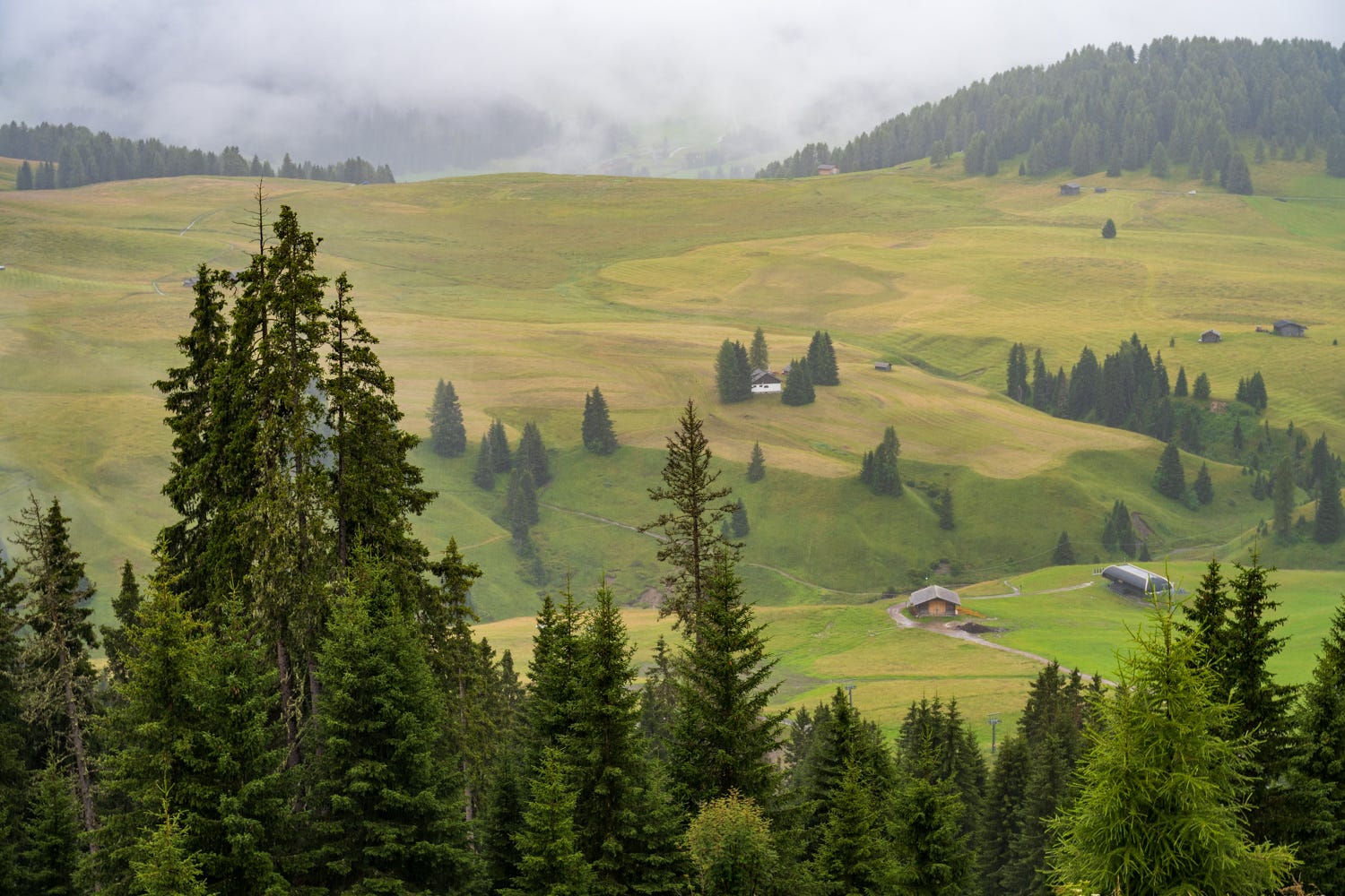
Alpe di Siusi
Oretesi is one of the main entry points to Alpe di Siusi, one of the most beautiful destinations in the Dolomites. The largest high alpine pasture in Europe covers an area of 56 square kilometres. You can not drive into Alpe di Siusi unless you stay there, which makes Eur 1,000 per night rooms the norm in the area. However, you can easily get to Alpe di Siusi from a cable car starting from Oretesi. We had planned to spend a day in Alpe di Siusi, but it rained all of that day, but it did not deter us from taking the cable car to the summit and soak in the views of the meadows.
The witches benches trail: https://www.alltrails.com/trail/italy/south-tyrol/anello-della-bullaccia-panche-delle-streghe-hexenbanke is popular in the area, which we had planned to hike, perhaps some other time.
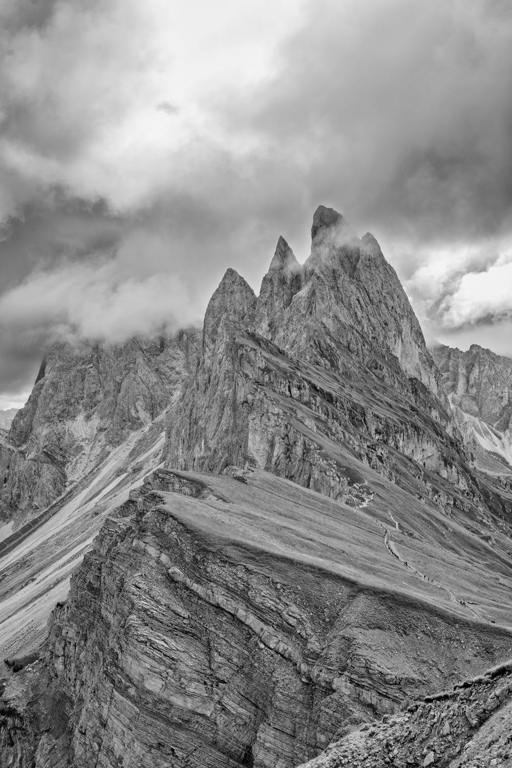
Mt. Seceda
Mt. Seceda is one of the highlighted peaks of the Dolomites, for good reason. There are multiple hikes of various lengths to explore the area. https://www.alltrails.com/trail/italy/south-tyrol/via-ferrata-sas-rigais-seceda-sas-rigais-col-raiser. You can also through hike the area by starting at Seceda (near Oretesi) and exiting Col Riser (near St. Cristina). Or you can go up a cable car (two cars actually) to Mt. Seceda, explore the summit area and then take a chair lift, hike a mile and half, then take a cable car down to St. Cristina (Col Riser), which is what we did. This is quite remarkable. You are through hiking with the family using all the cable cars, with limited hikes in between. I highly recommend this approach if you have family who wants to experience the high mountains with some hiking.
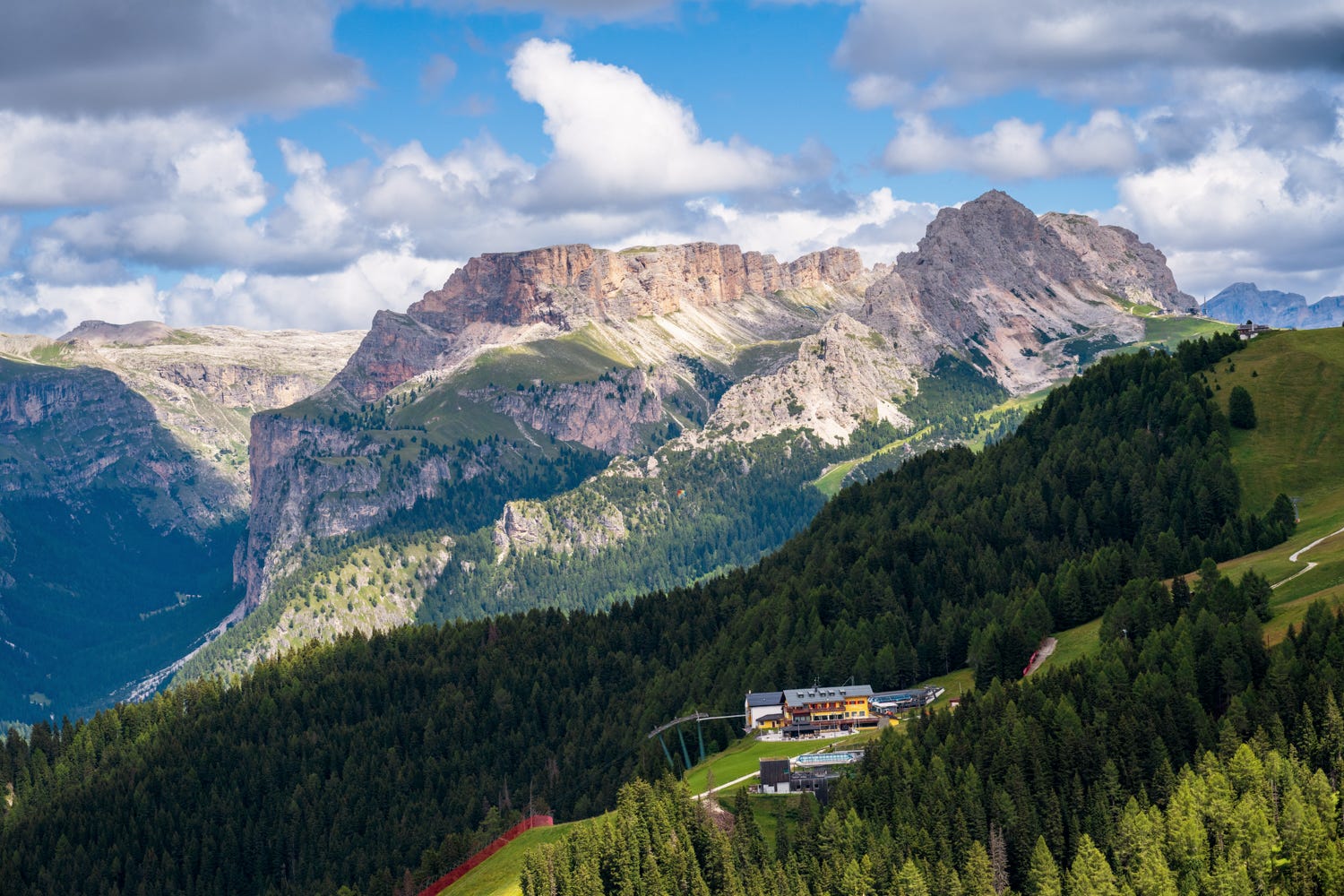
Dantercepies
Another top cable car area is Dantercepies. There are multiple hikes you can do from this cable car. It overlooks the Gardena Pass and has some very good hikes here: https://www.alltrails.com/trail/italy/south-tyrol/dantercepies-furcela-de-cir-rifugio-puez-vallelunga. However, you can simply take a cable car to the summit, hike a mile to Jimmy Hut, and take another long cable car down to the Gardena Pass area. If you give yourself ample time, you can reverse your cable car journey or take a bus back to the villages (the bus will be much longer).
Ciampinoi
Ciampinoi is yet another cable car that you can hike to get stunning views of both the Gardena pass and the Val Gardena valleys.
There are some very good hikes in the area: https://www.alltrails.com/trail/italy/south-tyrol/giro-gruppo-sassolungo-via-ciampinoi. With the cable car map in hand, you can go up Mt. Pana, another cable car to Mt. Secre, a 1.5 mile hike down to Tramans lift, then a short hike to Ciampinoi and you are down in Selva. Get used to the lifts diagram and page, and use your imagination. You can add short hikes between the chair lifts and chain them together. Every cable car station has a cafe and food options, in addition to bathroom facilities.
Mt. Sausalingo is the largest mountain in the area and you will be hiking with this peak for company.
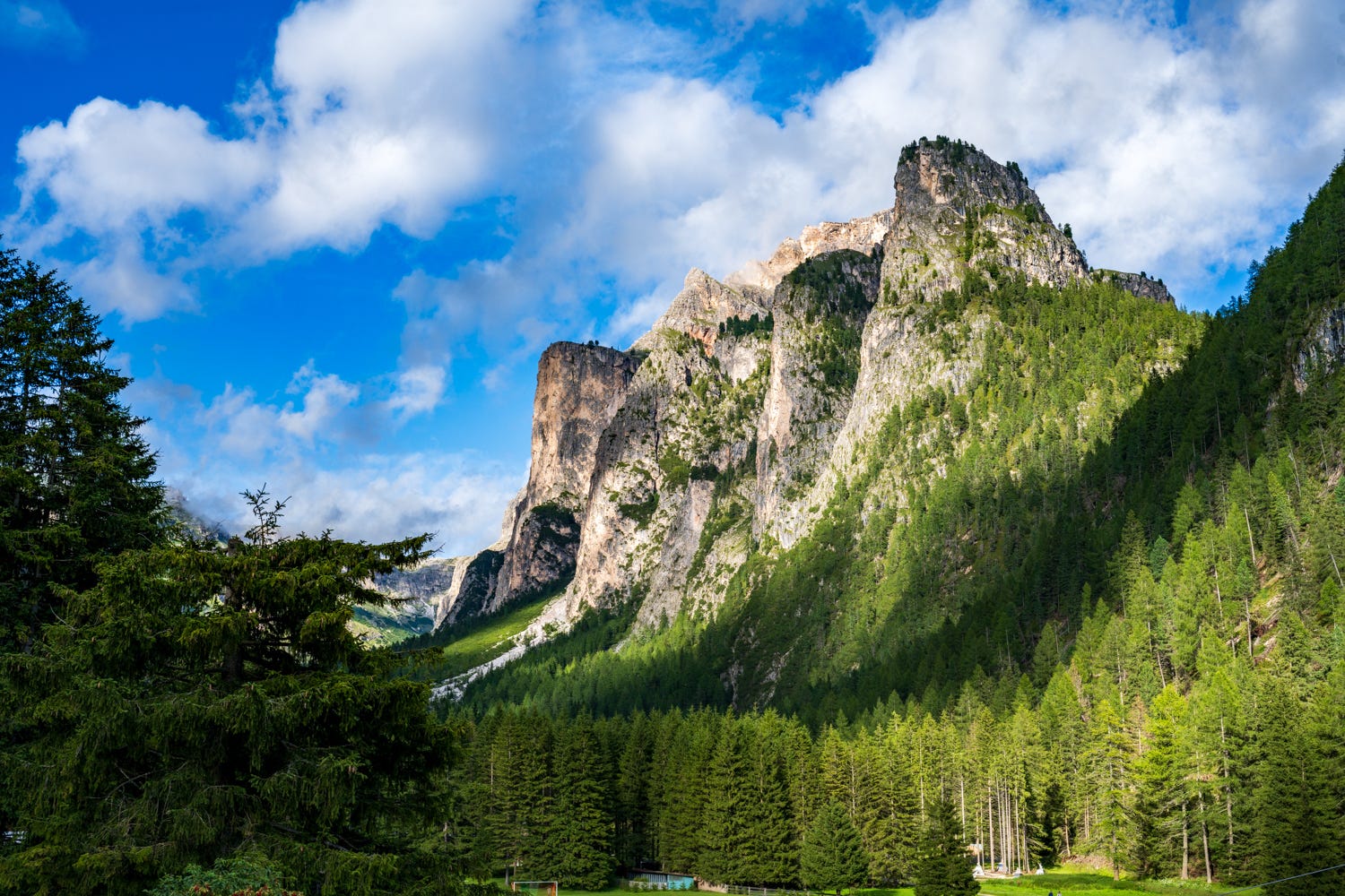
Valunga Valley
You don’t need cable cars to access all areas. Valunga vallely is easily reachable by car. It reminded me of Yosemite.
If I have to plan this trip again, I would simply spend all my time in Val Gardena. This valley has so much to offer and is very friendly to the family based trips.
Ampezzo Dolomites
Ampezzo dolomites are the high country in Dolomites, the mountains are taller, you are now closer to Austria and the landscape changes quite dramatically. Gone are the the meadows and are replaced by alpine lakes and rugged country. It is almost like going from Northern JMT (north of MTR) to Southern JMT.
Cortina d'Ampezzo is the biggest city in the area. Winter Olympics 2026 will be conducted in this area, so this is more of a ski town on steroids (think Mammoth Lakes or even Lake Tahoe).
Cinque Torri
A trail with wonderful views starting from the Cinque Torri Refuge (2135m) and following the Cinque Torri Giro Trail. The starting point can be reached by taking the Cinque Torri Chairlift and then proceeding on gravel trails. In summer these trails can be a bit crowded. Several strategic sites during World War I can be observed along this route. This hike can also be done by older children or those with hiking experience. https://www.alltrails.com/trail/italy/veneto/giro-cinque-torri
There are multiple passes in the Dolomites and Passo Falzarego is one of the dramatic ones. You go down this pass to get to Cortina. Somewhere near the summit is the Cinque Torri trail. Another cable car takes you to the summit (the Val Gardena pass does not work in this area). The hike is in rough country but doable with proper footwear. This area has bunkers from the First World War era and makes for some great views.
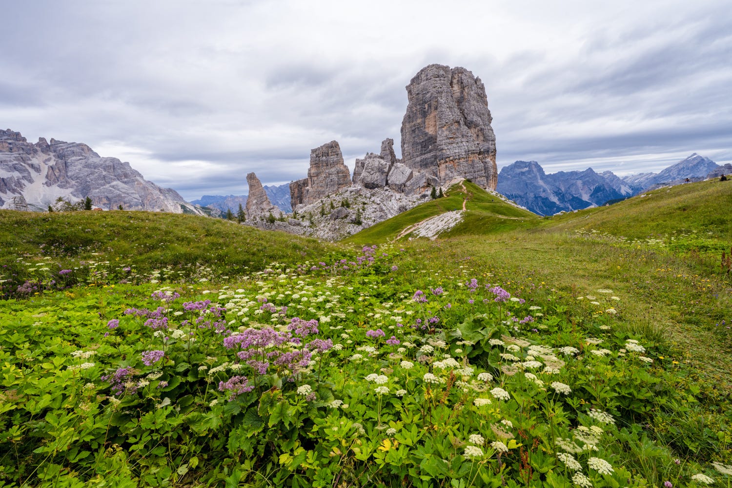
The views from the summit of Cinque Torri are great. Alta Via 1 passes through Cinque Torri, en route a few huts so you get a good idea of the terrain the hike goes through.
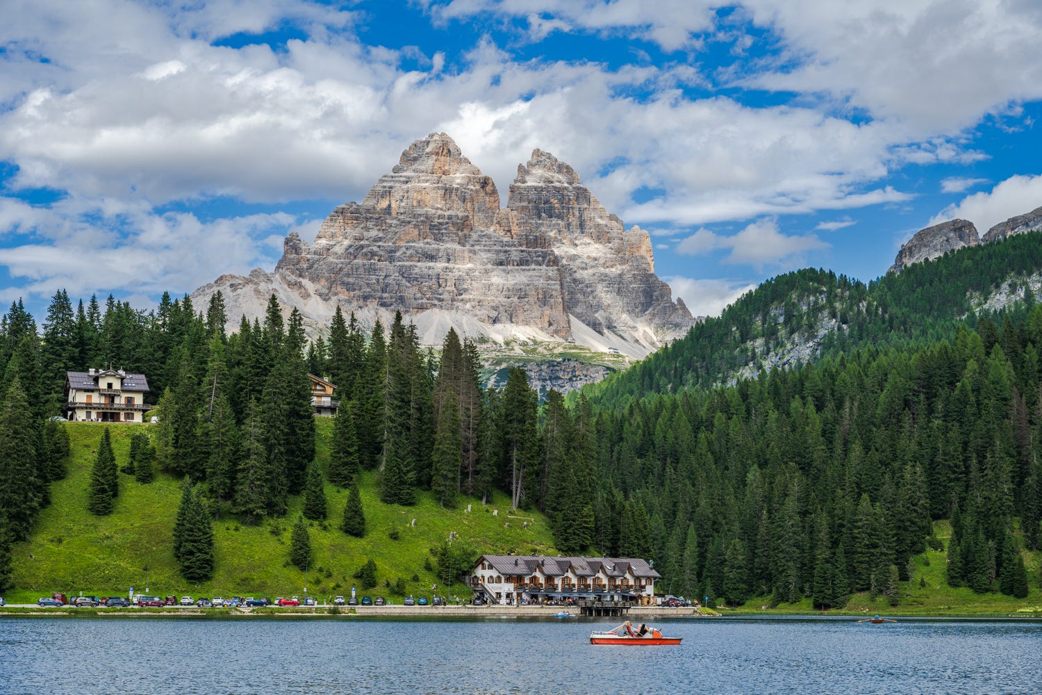
Lake Misurina and Tre Cime di Lavaredo
Next to Mt. Seceda, Tre Cime di Lavaredo is the most popular mountain peak. It is so popular that you now need a car reservation done online. I missed buying the pass, so I was at the mercy of public transit from Lake Misurina.
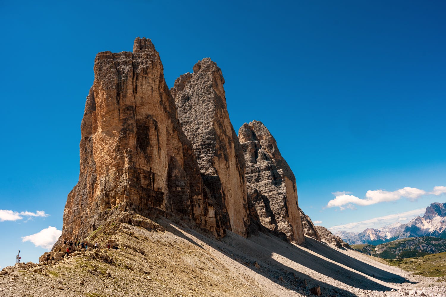
The Tre Cime loop is very popular among hikers: https://www.alltrails.com/trail/italy/veneto/tre-cime-di-lavaredo-laghi-dei-piani. We had planned to hike the full loop, but the weather changed and it got too hot. We stopped at Forcella Laverado (the pass) which had grand views of the area and turned back. We went from snowing one day to 90F hiking conditions in the space of two days. It is very similar to the High Sierra, so you need to be prepared for this. Unfortunately, the Tre Cime area has become very popular and I saw many unprepared people on the trail. I saw someone pushing a baby stroller up the trail, I saw people throwing up and people wearing tennis shoes going up some gnarly terrain which will break your ankle.
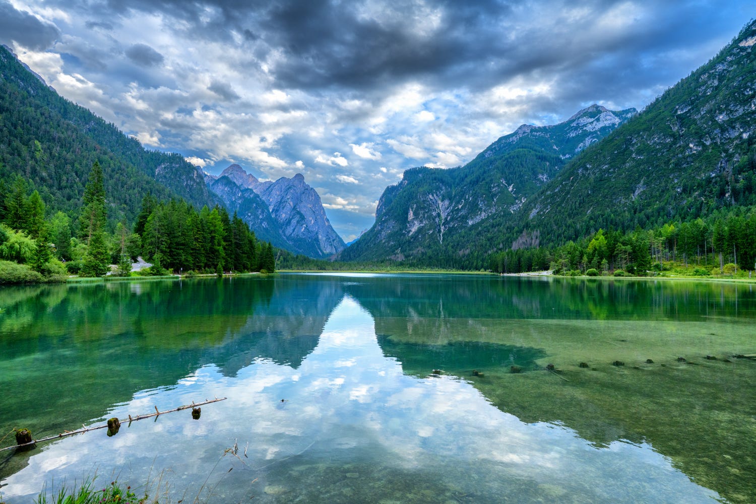
The lakes
Lago di Braies is the poster child of the Dolomites. Given how many alpine lakes I experience in my high sierra hikes, I was less than impressed. I suppose people do love water bodies, but I found Lago di Braies too overcrowded and in the heat and tiredness, I did not really see the beauty of the place.
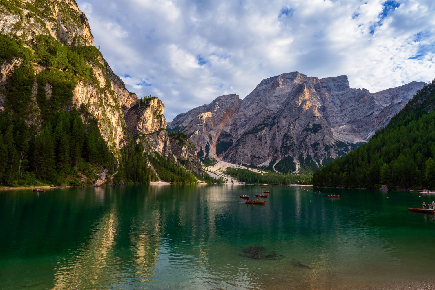
Alta Via 1 starts here, so driving towards Lago di Braies gave me a good sense of the terrain and the views. However, the other spots en route were absolutely astonishing. Lago Dubbaccio was astonishing. The border of Austria is not too far from the town of Dubbaccio.
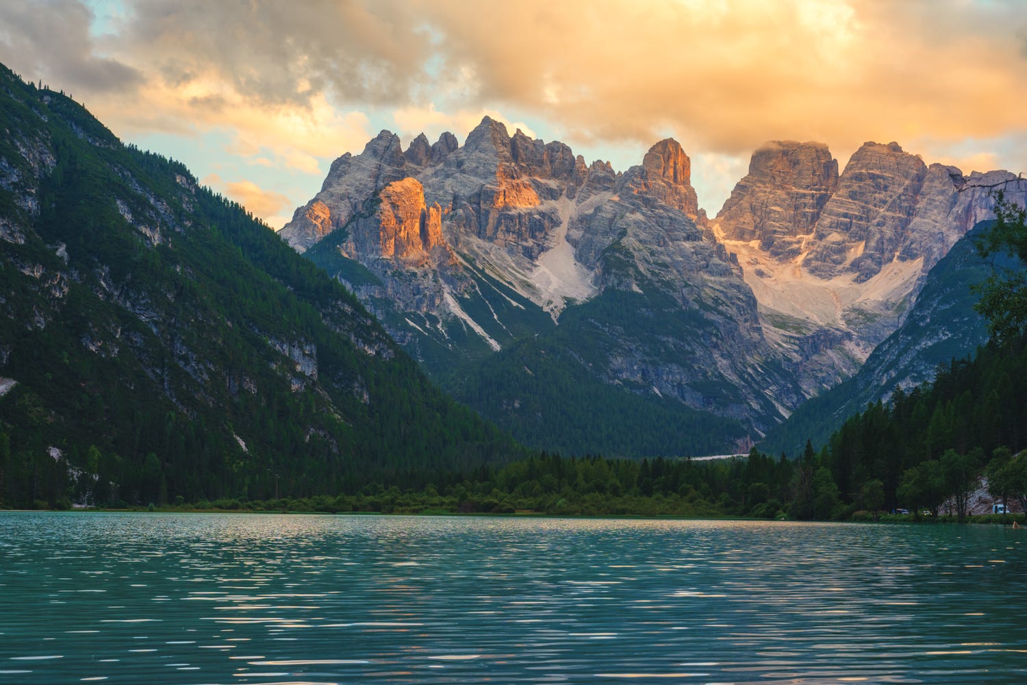
We had some astonishing views of Mt. Piana from Lago Largo.
Six days and five nights is too short to explore the Dolomites, but I got a flavor for the area. I will head back. My views of Alta Via 1 has changed a bit. It gains 25,000 feet in elevation over 125 kms, which can be intense, but I suspect that if I add a few strategic cable cars in the mix, it can be a 125 km, 12,500 feet through hike with the best of all the worlds. More on that, once I figure it out.
I have a lot more photos from the Dolomites in my gallery here: https://www.anands.net/dolomites. Happy trails!
Great photography! Keep hiking and posting photos. 👍