Cottonwood pass to Onion Valley
Covid is still around :(

I was indeed lucky the fourth time to be able to complete this section of the John Muir Trail, but it came with a lot of twists and turns.
Here is the Strava link for the tracked hike:
https://www.strava.com/activities/15248118776
For those of you curious on how to get a stitched tracking like that:
I recorded each day in my Apple Watch hiking app.
Then I synced all the hikes to Strava.
Downloaded each section as a GPX in Strava.
Combined the GPX files by using a tool like this https://joewein.net/bike/gpxmerge/
Reimport the combined file in Strava.
I had broken down the hike into the following sections with each of those maps.
Day 0: Drive from Bay Area, leave one car at Onion Valley Campground, dinner at Lone Pine, drive to Horseshoe meadows, camp at Cottonwood Pass trailhead campground. ($24 per campsite cash needed, self registration)
Day 1: Trailhead to Soldier lake through Cottonwood pass. Note that Solider lake is off trail (off PCT at least) but that is the surest location for water. If you start too late, you can camp at Chicken Spring Lake, just below the pass.
https://www.alltrails.com/explore/map/cp-to-ov-day1-dc0e194
Day 2: Soldier lake to Crabtree meadows through Guyot Pass. This runs directly along Rock Creek. When we talked to the Ranger on Day 0, they mentioned that there is no water between Solider lake and Crabtree meadows. That was incorrect. There was water all the way to Wallace creek.
https://www.alltrails.com/explore/map/cp-to-ov-day-2-7d2b92b
Day 3: Crabtree meadows to Tyndall Creek through Bighorn plateau.
https://www.alltrails.com/explore/map/cp-to-ov-day-3-18de4be
Day 4: Bighorn plateau to Bubbs creek over Forester pass.
https://www.alltrails.com/explore/map/cp-to-ov-day-4-1558417
Day 5: Forester pass to Kearsarge lakes.
https://www.alltrails.com/explore/map/cp-to-ov-day-5-fa7cdfa
Day 6: Kearsarge lakes to Onion valley campground.
https://www.alltrails.com/explore/map/map-july-28-2025-da40657
Each day elevation gain looked something like this:
After dropping the car at Onion Valley, we setup camp at Cottonwood Pass trailhead campground. Lots of camping spots here which don’t need prior reservation (unlike Onion Valley). We paid $24 in cash (take cash). The first few miles of Horseshoe meadows is a pleasant hike before the climb starts towards Chicken Spring Lake.
Almost immediately, I felt that something was wrong. I felt as if I was hiking with a plastic bag around my face. I thought it was some form of AMS, but given that I was already on Diamox for a couple of days, I wasn’t sure.
The climb to Cottonwood Pass was uneventful otherwise. There are no signs to indicate that you have crossed the pass. I suspect the pass is somewhere near where the PCT joins the trail. When we reached the summit, we had already gone past the pass. The downhill from the summit is a long grind. The trail is sandy, almost like beach sand and the hike was a drag through the sand. We turned away from the PCT towards Soldier Lake and camped there for the night.
The other alternative is to continue on the PCT towards Rock Creek, but that is another 3-4 miles more. I had no legs to go any further. Soldier Lake is a pleasant place to stay anyway.
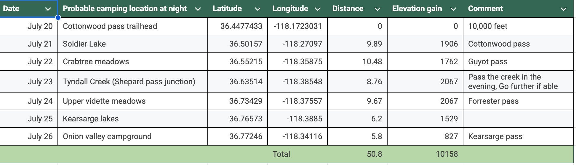
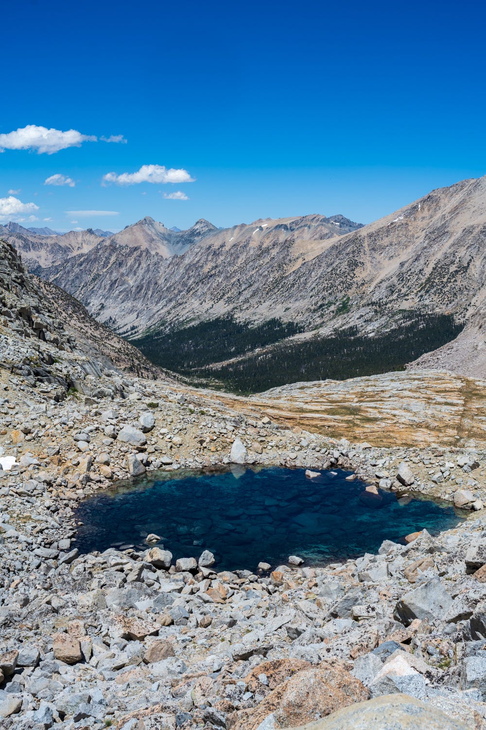
Day 2 is all the way down to Rock Creek and then a sharp climb towards Guyot Pass. There was plenty of water at Rock Creek and crossing it was uneventful. The climb towards Guyot Pass was slow and laborious and my struggles got worse. As we start to get down towards Crabtree meadows, we started to see this wonderful view of Mt. Whitney range from the West. Crabtree meadows ranger station is somewhere below amidst the woods here.
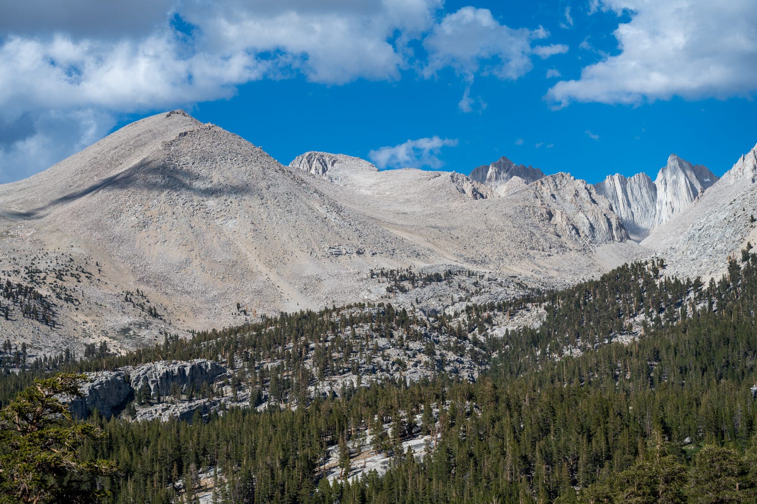
We camped just before Whitney Creek (with which I have great fondness - it was the toughest creek to cross in the 2019 HST hike). I took a dip in one of the tributaries of Whitney Creek and then soaked in this magnificent sunset.
Day 3 started with crossing Whitney Creek and one of my team mates immediately did the one thing you are not supposed to do when crossing a creek :). In general, all creeks were easy to cross, including Tyndall (which gave me a lot of worry).
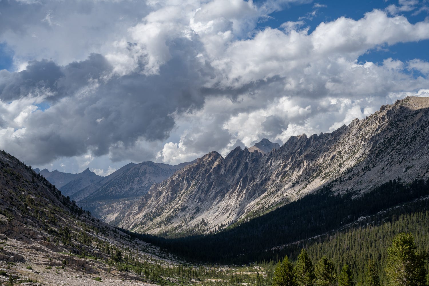
I was looking forward to Day 3. I had done the section between Wallace Creek and Crabtree meadows for the HST, but what surprised me was we climbed nearly 800 feet within the first two miles, I did not remember that. Once we got down to Wallace Creek, there was a sharp climb of over 1,000 feet in 1.5 miles towards Big Horn Plateau. There is no section I have looked forward to than Big Horn Plateau. It lived to its reputation. The view of Mt. Whitney from here is quite surreal.
You don’t quite realize that you are staring at Mt. Whitney until you realize Keeler Needle and Crooks Peak next to it and then you see the final half mile slog you do to get to the top of Mt. Whitney. This was totally worth it.
This climb is where my hiking troubles really got to me. I could barely move for a minute. I had to convert this to an interval training exercise, so I set an interval timer and would climb for 1 minute, rest for 45 seconds and repeat. I was doing 90-100 minute miles. I am truly thankful to my friend of 40+ years, Rames, who magnanimously agreed to shadow me. Without him, I would have abandoned this hike on this day. We stayed and rested at the summit of Big Horn Plateau and made our long trek down to Tyndall Creek for the night.
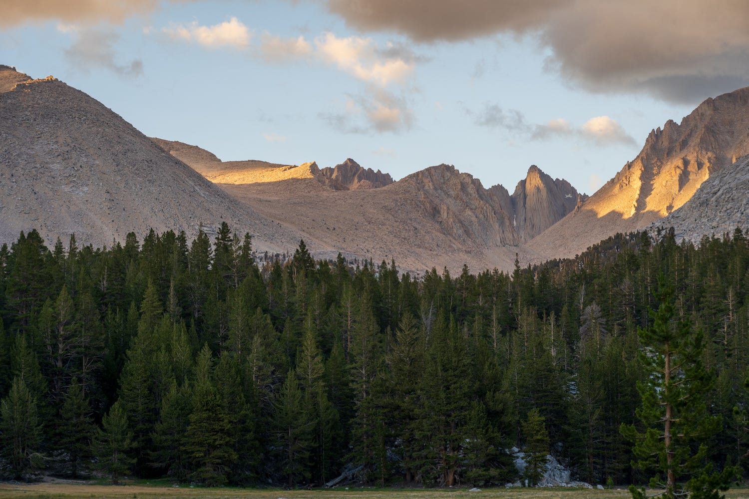
Day 4, Rames and I woke up early and left camp at 6am for our five mile gentle climb to the base of Forester Pass. Trying to find out where the pass is an interesting game.
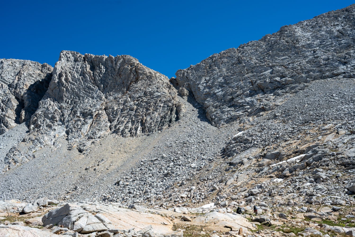
Forester pass in almost in the middle of this photograph. You have to climb through the rock face to the right, if you can find the trail, you are an expert :).
Getting to the summit took me about 90 minutes from the base, given how slow I was moving, but definitely doable. The hike reminded me of the climb from Guitar Lake to Trail Crest, you need strong legs to do this.
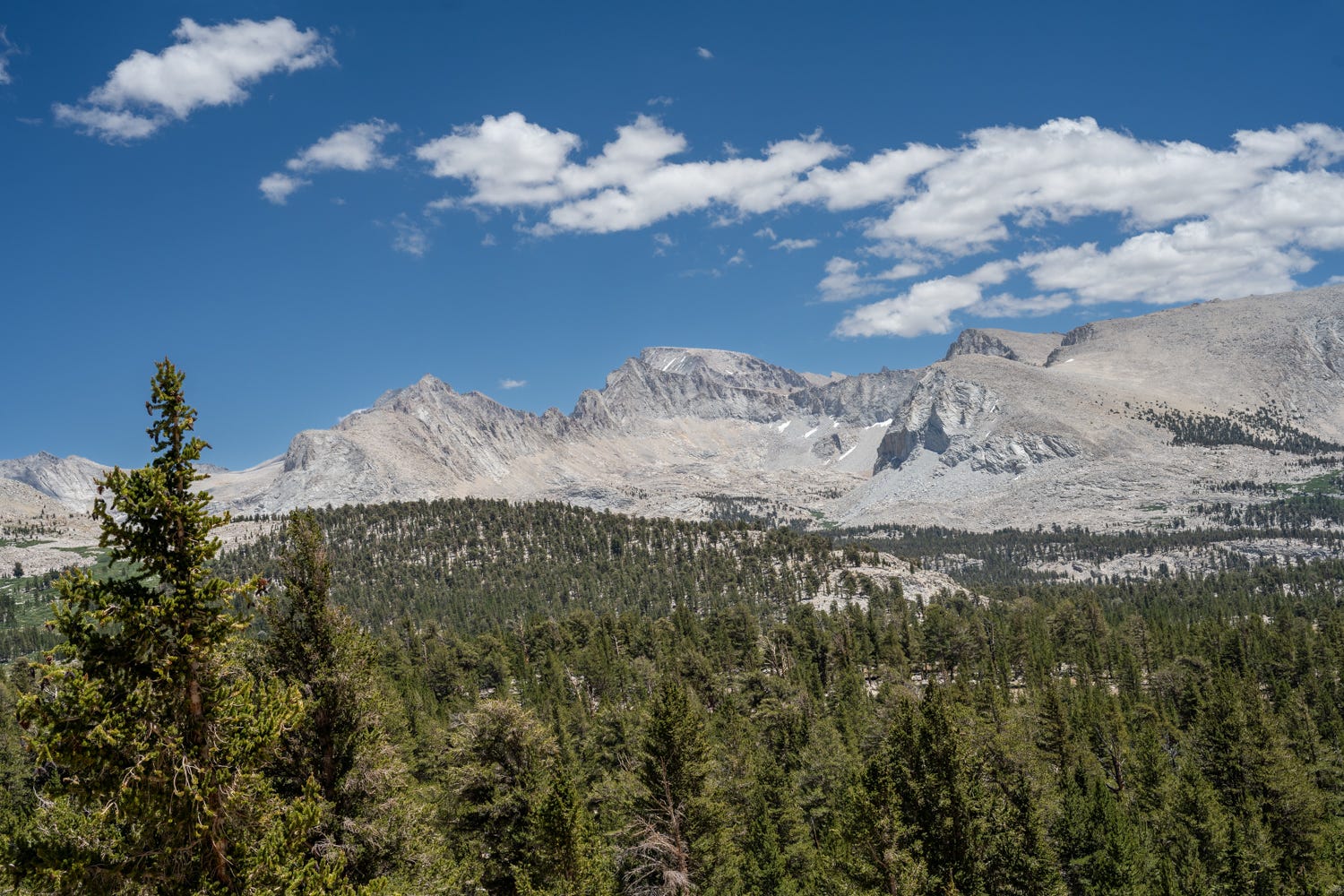
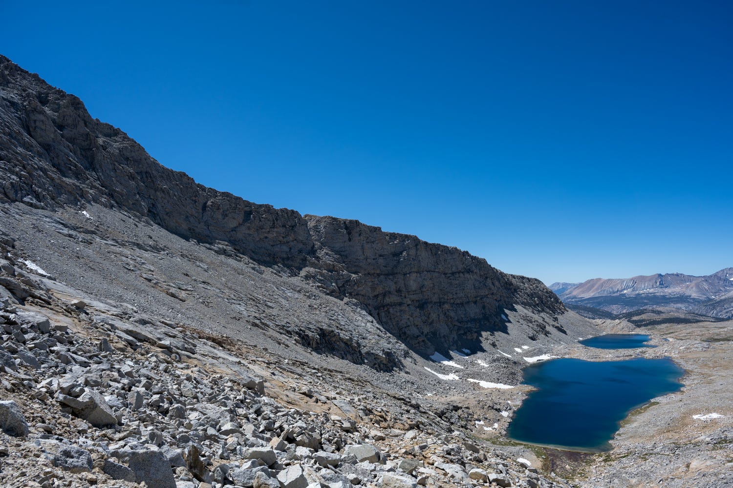
The view from the summit of Forester Pass is pretty neat. You can see about 30-40 miles through. Other hikers mentioned that they could see the Palisade range from the summit, I couldn’t make it out.
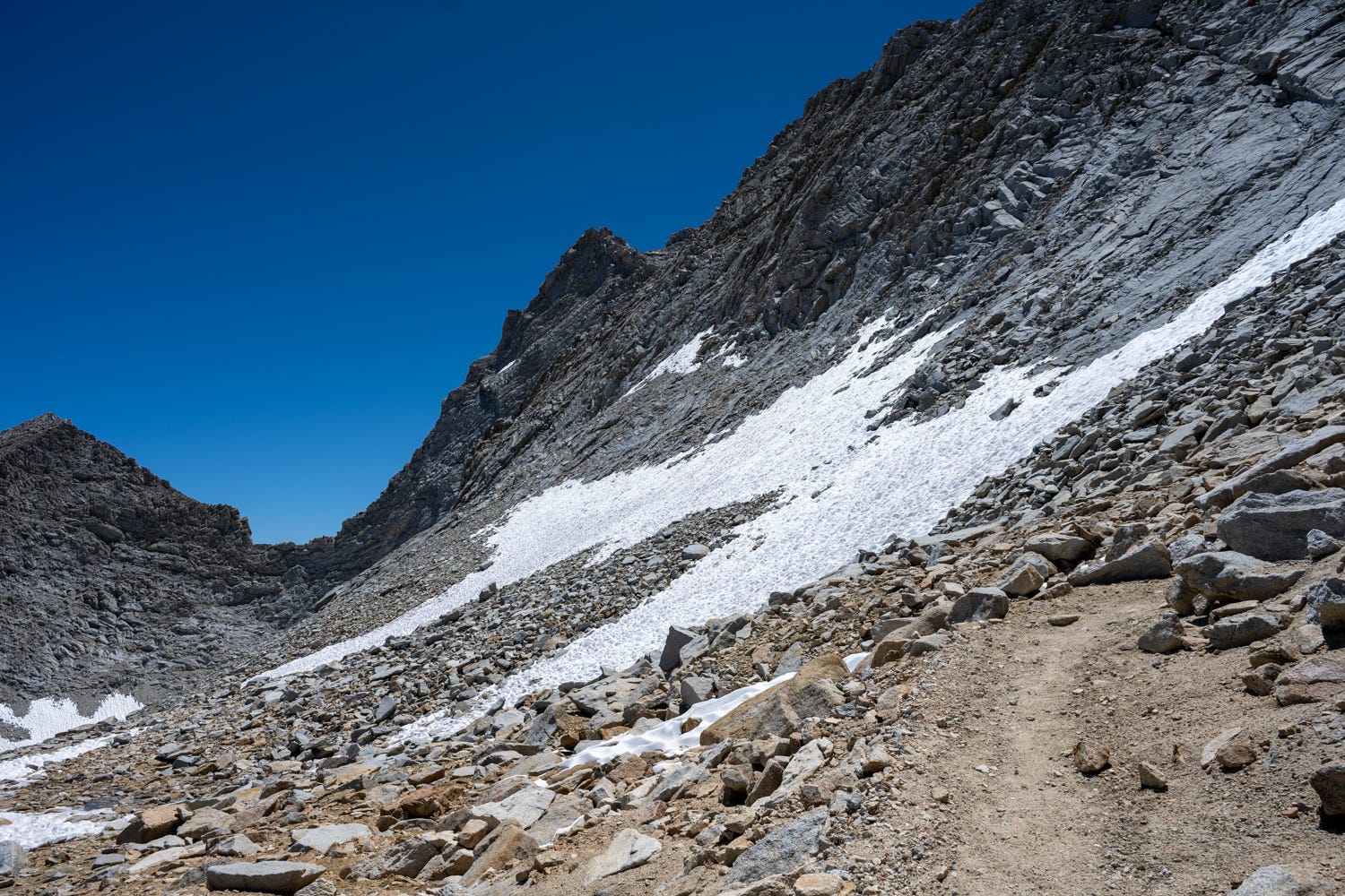
Getting down Forester, the South side is pretty exposed. As expected, there was some snow patches left on the South side. We were able to navigate it easily.
When you get down from the summit, it is hard to believe that you actually got down from there. I have huge respect for hikers climbing this from the South face.
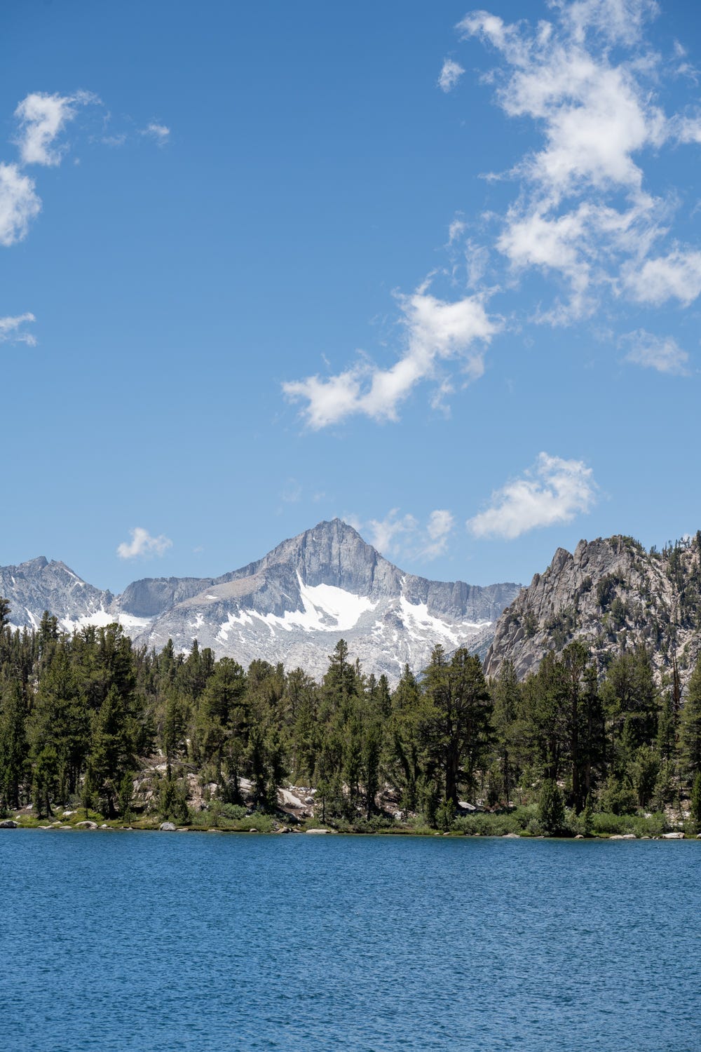
Going down towards upper Vidette meadows, you start to see Vidette meadows in a distance. Our campsite for the night would be along the meadows. Upper Vidette Meadow reminded me of Upper Lyell Canyon and the southside of Glenn Canyon. I was too exhausted at this point and I had 3-4 more miles to go and did not take many photos, but I wish I had taken more. We camped near Bubbs creek that night.
Day 5 started with a nice gentle downhill of 3.3 miles till the Crescent Meadow fork - this is where the Rae Lakes loop leaves the JMT and heads West towards Crescent Meadow. The climb out of Vidette Meadows to Bullfrog lake junction is a nasty little surprise as bad as any pass you can imagine. After what felt like a year, we finally reached the Bullfrog lake junction and exited the JMT towards Kearsarge Lakes.
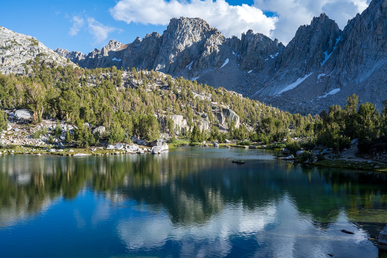
This is the third time I walked by Bullfrog Lake, it continues to amaze me. We camped at the same spot we did last year at Kearsarge Lakes with great views of the Kearsarge Pinnacles.
On the last day, we started early in the morning and saw the really cool fog over the valley.
We summitted Kearsarge pass just before 8am. I am starting to like exiting the trail through Kearsarge pass, the climb is manageable and the 5 mile descent to Onion Valley campground seems manageable.
We had to drive back to Horseshoe Meadows to fetch the other car and then eventually drove back towards the Bay Area the same night.
Once back in the Bay Area, I visited an Urgent Care facility and got an X-ray done of my lungs. I caught Covid-19 again last month (thank you SF Opera) and Covid had left an inflammation in my lung. I had somehow managed to hike this section of the JMT with a lung working under capacity. One month isn’t time enough to recover from Covid-19 before a hike like this. I had experienced no discomfort at sea level either while working out or during my practice hikes. I wish I had done the X-ray before the hike or attempted Mt. Dana before the JMT, perhaps that might have helped.
I now have 38 miles of the JMT left, between Rae Lakes and Le Conte Canyon. https://www.alltrails.com/explore/map/rae-lakes-to-leconte-canyon-9fe4e15. Perhaps next year is when I complete the JMT.
Happy trails.
Nice post Anand! love that photo of Whitney from the backside during sunset (I assume)