High Sierra Trail - Day 1
Crescent Meadow to 9 mile creek

Points of interest
Crescent Meadow - 6,500 feet
Mehrten Creek - 6 miles from CM, 7,500 feet
9 mile creek - ~10 miles from CM, 7,591 feet
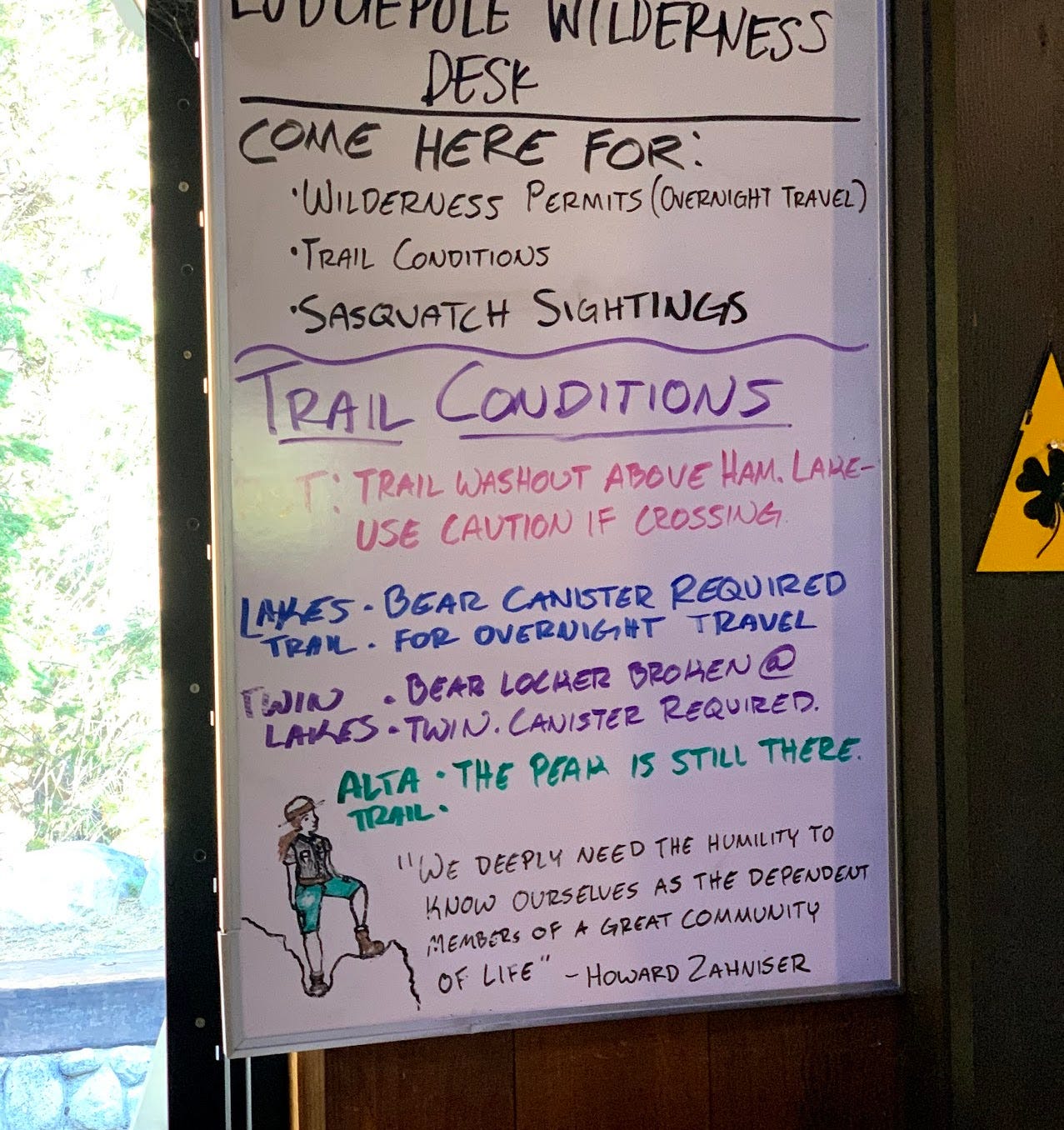
We picked up our permits from the Lodgepole visitor center. We were a bit lucky that our wait was only 15 minutes, the line grew larger as the minutes went by. There were 3 groups of us starting HST on that day. Two medics, who would leave us in the dust after about 15 minutes of starting and we would never see them again.
The San Diego backpackers meetup group, led by Eddie, were in line behind us and we would play catch up to Eddie, Sean, Lisa, Sully, Craig and Sparky for the rest of our hike.
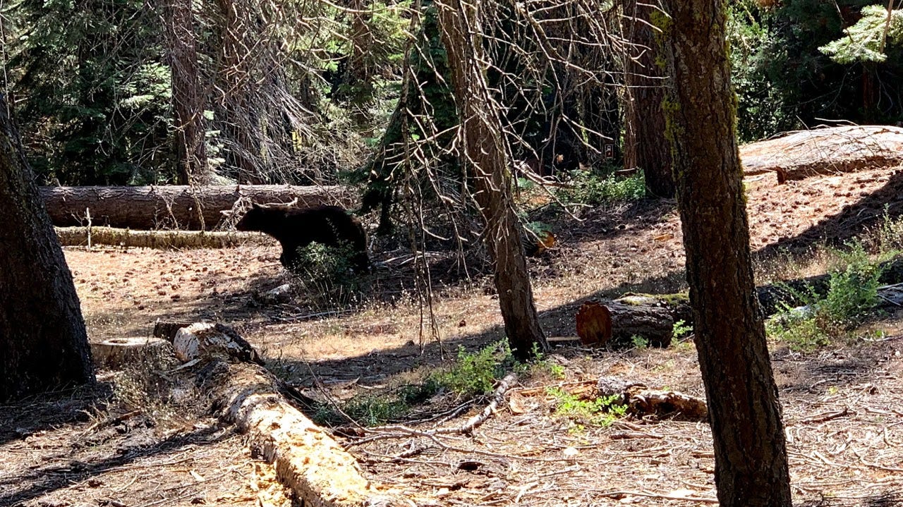
Our first bear sighting would be on Generals Hwy from the car. The second sighting at the trail head even before we put our packs on.
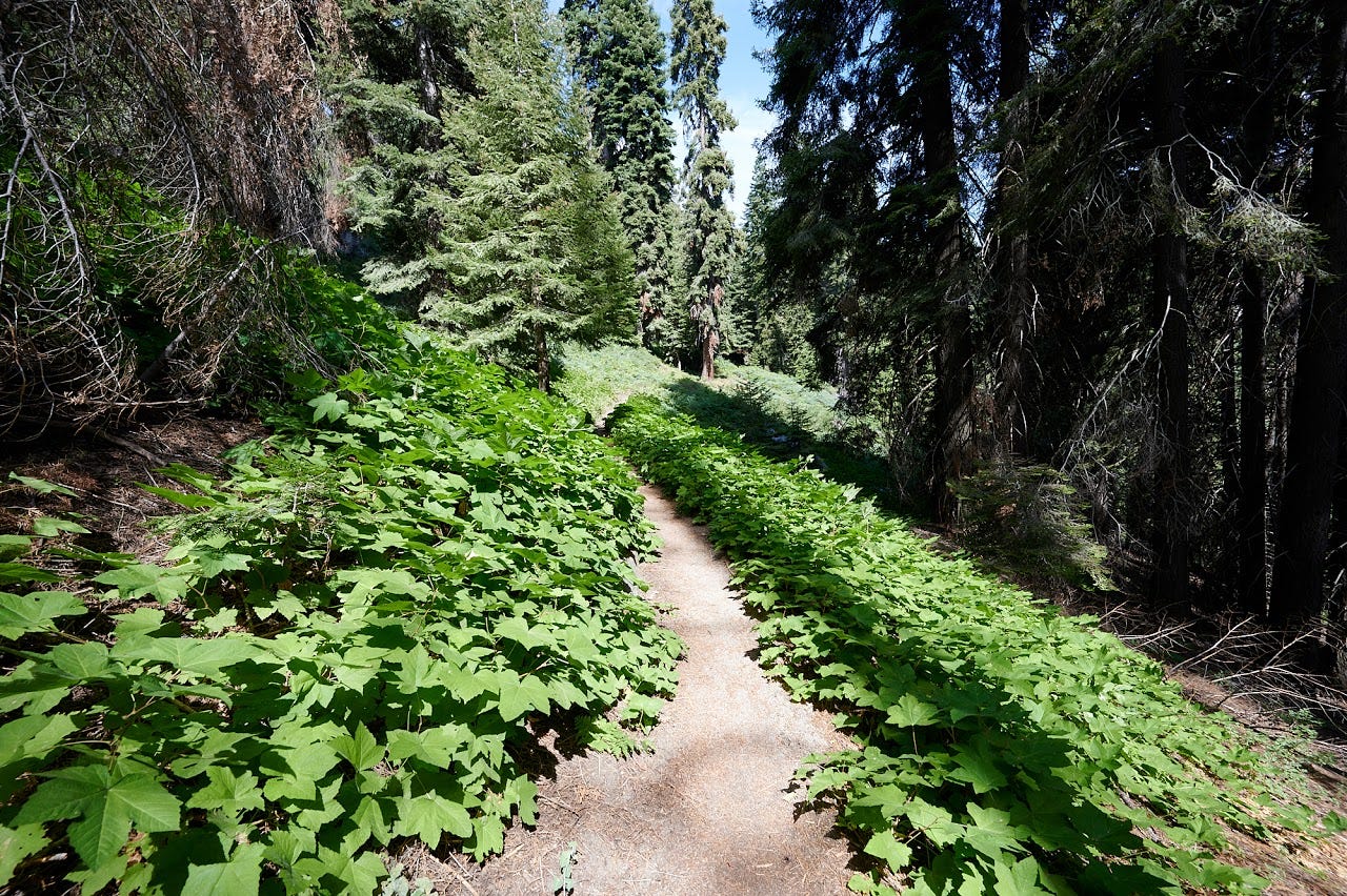
The first few miles of the HST are a gentle walk in the park. There are a few Sequoia trees along the trail and you soak in the views of the park.
You have seven mile hills and castle rock to your right and as you hike, you are walking along those mountains.
After a mile or so, we get to Eagle view, which is a popular short hike destination with stunning views.
After about 5 miles or so, we sat down for lunch, ate a bit and heard rustling behind us. Needless to say, it was our third bear sighting. This bear was relentless and would start to follow us a few feet above us in the mountain for a mile or so. The three of us are used to bears stalking us, particularly after lunch, we had do really work hard to make a lot of noises, whistle and try to get the bear off our backs.


We got to see stunning views of Sugarbowl dome.
Crossing Mehrten creek was unremarkable.
We wanted to push ahead to Buck Creek, but it was getting close to 5pm and we saw the Sandiego backpackers (who had caught up with us by mile 3) relaxing in nine mile creek. We ended up setting up our campsite in nine mile creek for the night.
The creek had plenty of water. We ended the day by filtering water from the creek and using it for the night and the next day morning. Functional bear box made things quite a bit easy as well.
Seen below is our garmin map for days 1-3. We made it to about a third of the way here on day 1.