
My journey on the John Muir Trail started many years ago. After eight years, I finally completed the trail this time.
2018 - Wallace Creek to Mt. Whitney as part of the High Sierra Trail.
2019 - Agnew Meadows to Thousand Island lake as part of the Ansel Adams Wilderness.
2020 - Echo Valley to Cathedral Lakes as part of the High Sierra Camp loop.
2021 - Rush Creek to South Lake.
2022 - Rush Creek to Happy Isles.
2023 - Hurricane Hilary!
2024 - Onion Valley to Rae Lakes and back.
2025 - Cottonwood pass to Onion Valley.
2026 - South Lake to Onion Valley.
My original plan to hike this section had us leaving a car at Onion valley trailhead, another at the South Lake trailhead and start the hike on the afternoon of that Saturday. My goal was to hike till Saddlerock lake, stay overnight and get over Bishop Pass and down to LeConte Canyon on day 2.
However, we saw that monsoon rains were forecast the next week. In the original plan, we were planning to hike up Mather Pass in the afternoon and that did not sit well with us. We redid our itinerary so that we cleared all passes except Bishop Pass first thing in the morning.
We arranged with David Pedersen (+1 (650) 388-6581) to pick us up from Onion Valley and drop us back at South Lake at the end of the hike. We had earlier asked him to drop us at South Lake on day 1, but redid the pickup to handle the change. David helped us a lot, he is very prompt and guided us through. I highly recommend David for any shuttle service in the Bishop area.
Day 1: South Lake to Dusy Basin
https://www.alltrails.com/explore/custom-routes/custom-route-cd401e5
We stayed Friday night at Lee Vining and as we were driving to South Lake, dark brooding clouds gave us a good scare. It was dumping rain over Ritter and Banner. We could see dark clouds over Bishop Pass that gave me a lot a concern. We carried rain pants and rain jackets and were prepared to pitch our tents very quickly, so we hoped for the best.
Parking and overflow parking was full by the time we reached the South Lake trailhead (9am). We had to drive back a mile and park the car by the side of the road and start the hike.
Day 1 struggle notwithstanding, the hike from the trailhead to the foothill of Bishop pass was uneventful. Hikers coming down the pass mentioned that it rained on them at Dusy basin that morning, I regularly started to check weather in Garmin and saw that there was no further thunderstorms. The only snow we saw in the entire trail was on top of Bishop Pass where we had to clear a snowfield.
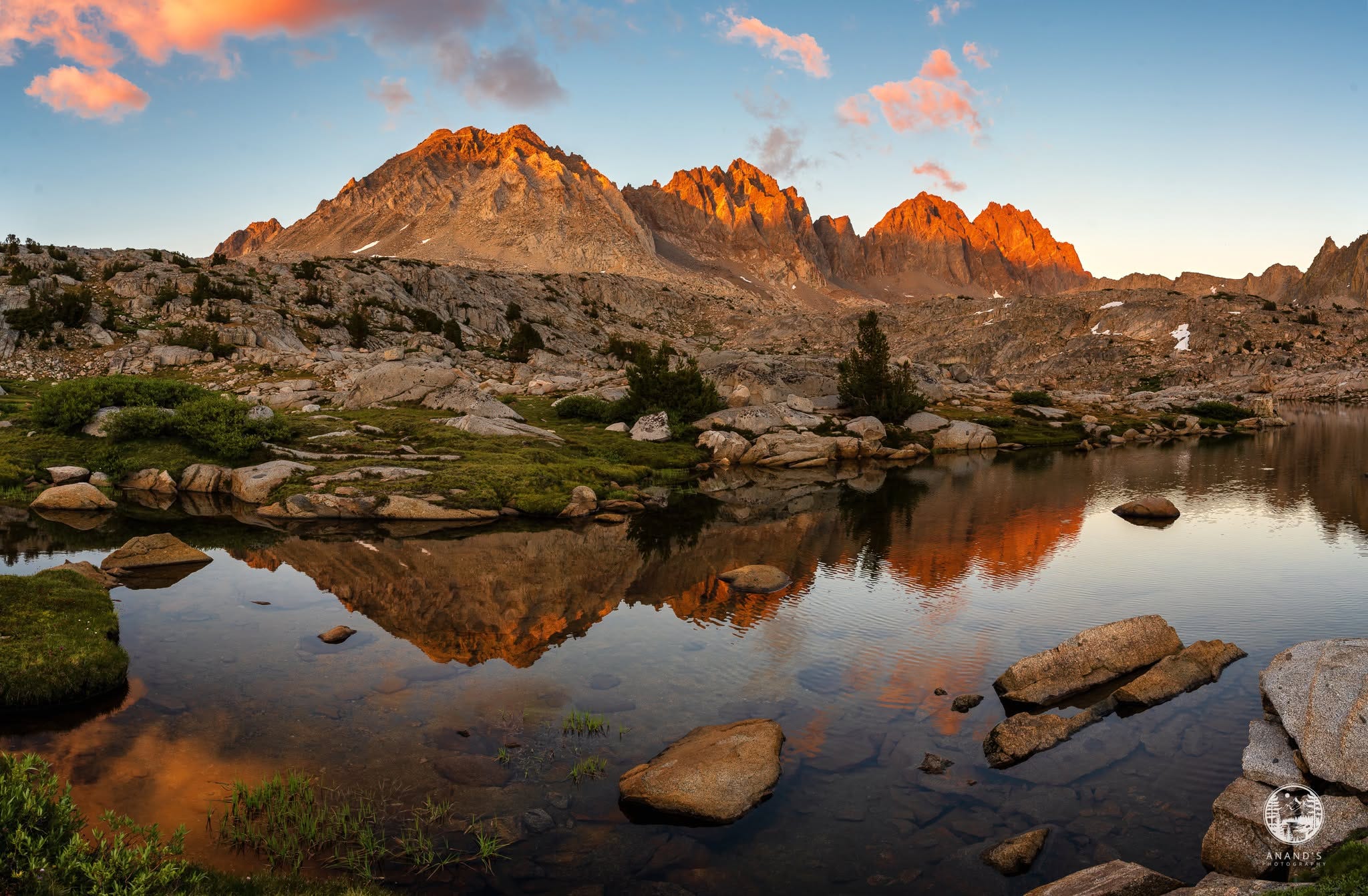
We camped at Dusy Basin for the night. We managed to get separated and had to spend an hour looking for each other and pitched the tent as it was getting dark. caught this magnificent sunset of Isoceles Peak in the Palisades range. We would reach the other side of the Palisades on the evening of day 3.
Day 2: Dusy Basin to Stillwater meadow
https://www.alltrails.com/explore/custom-routes/custom-route-80a5294
I have hiked LeConte Canyon to Dusy Basin which is a steep climb, going in the reverse direction and losing nearly 3,500 feet of elevation over a 3.5 mile hike was a challenge. Thankfully the broken bridge over Dusy Branch has been fixed so we were able to get down without incident.
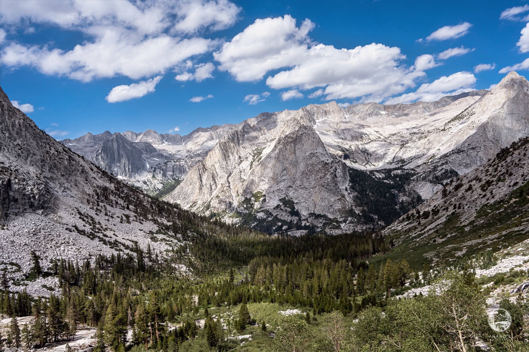
We had lunch at the Le Conte Canyon junction and started to climb towards the Palisades. I wanted to hike to Deer meadow, but it was getting late, so we stayed at Stillwater meadow. The last section to Deer meadow was another 550 feet of elevation gain, but it would have set us up nicely for the Golden Staircase.
Day 3: Stillwater meadow to Upper Palisade Lake through the Golden Staircase
https://www.alltrails.com/explore/custom-routes/day-3-le-conte-canyon-to-lower-palisade-lake-7a77807
Ever since I heard the term “Golden Staircase” and seen videos of the section, I have hiked that section in my head multiple times and this day, I would hike the Golden Staircase. Thankfully, this was one of the days that had rain and it did rain on us as we hiked the staircase, so we wore our rain pants and rain jackets and continued hiking.
I don’t see how people hike the Golden Staircase on a sunny day. You can literally cook in the granite. I once hiked a 3 mile section in the High Sierra Camp Loop from Merced Lake to Echo Valley summit under intense heat - this reminded me of that area, but worse. The rain actually helped.
I have no idea how hikers can climb the Golden Staircase and Mather Pass on a single day, thankfully we did not.
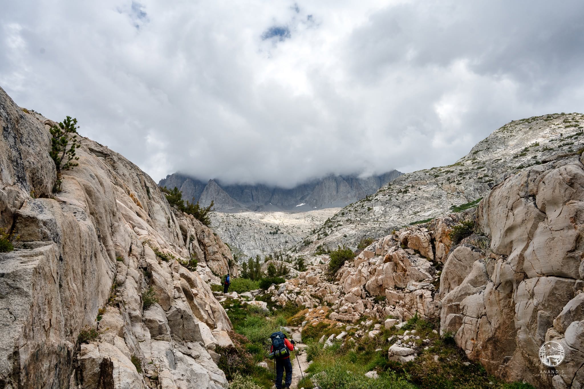
The views looking North from the Golden staircase are beautiful.
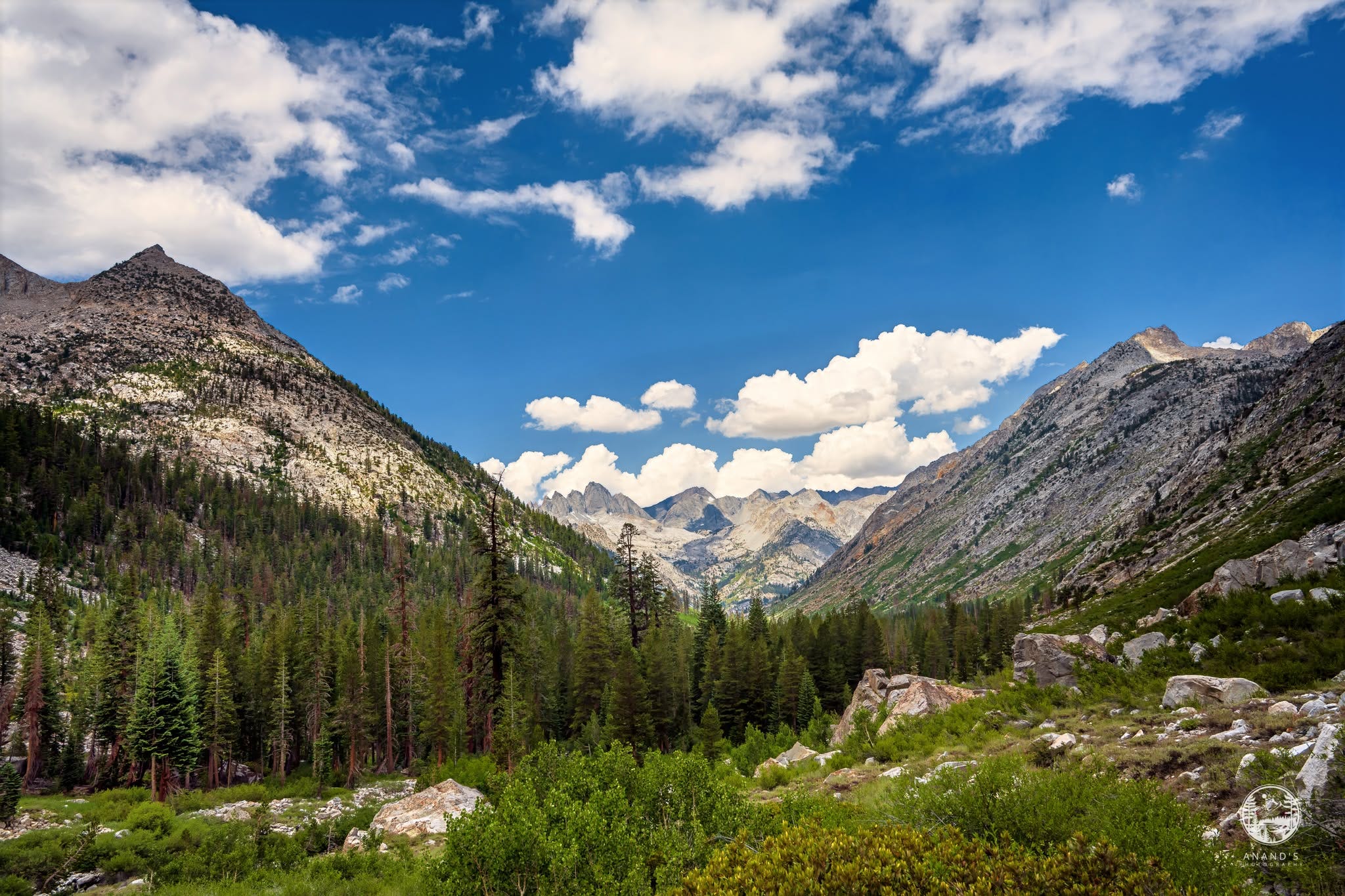
Once we reached the top of the Golden Staircase, the Palisade range comes into focus - it is a truly surreal feeling hiking through that section and reaching the Lower Palisade lake.
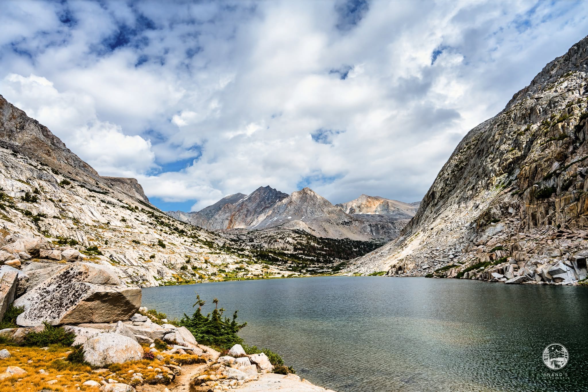
We wanted to get closer to Mather pass, so we kept pushing to Upper Palisade lake and stayed near the Palisade creek.
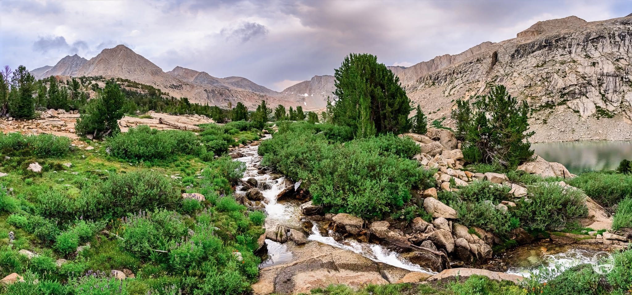
Day 4: Upper Palisade Lake to South Fork Kings River Junction through Mather Pass
https://www.alltrails.com/explore/custom-routes/custom-route-f8aacf1
There is a reason why some hikers consider Mather Pass as the toughest pass in the JMT. The climb was relentless, full of boulders and large rocks. The trail disappeared in a couple of spots and we had to climb over boulders to proceed. The view looking North from Mather Pass is truly jaw dropping. We would see the Palisade lakes disappear from our view and then we could see 30-40 miles to the North.
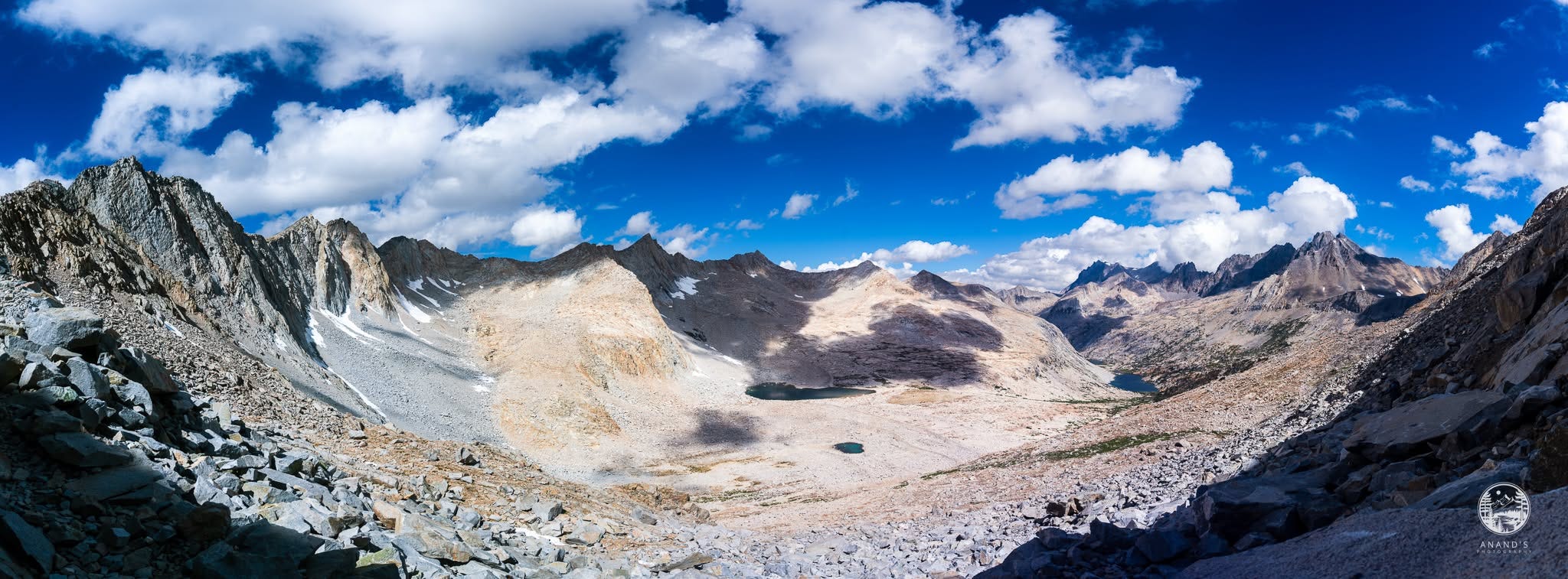
We could see thunderstorms headed our way so we hustled to get down from the summit. Getting down on the South side was equally hard. We could see the Upper Basin come into view and saw the section we would hike shortly.
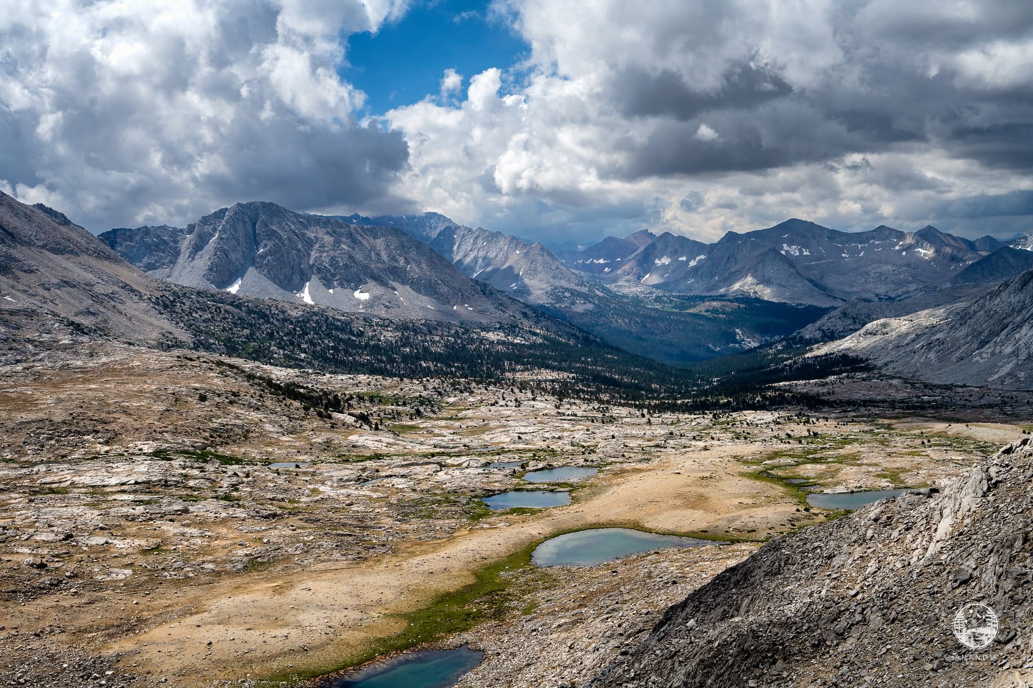
When we got down to Upper Basin, thunderstorms started. We decked up in our rain jacket and rain pants again. We were thankful that we redid our hike so that we cleared Mather Pass before the thunderstorms started. We would meet hikers who had to take cover on the ascent and wait for lightning to clear.
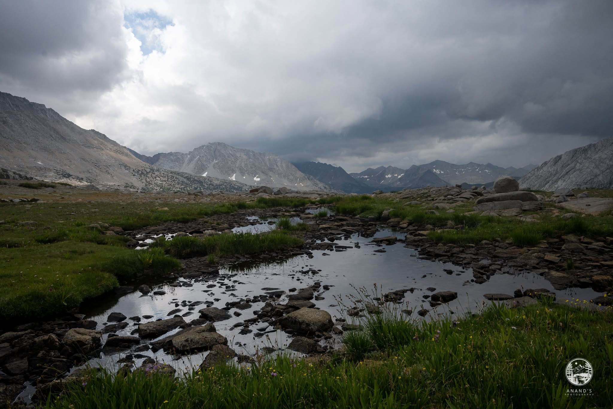
Most hikers would push to Lake Marjorie (another 1,000 feet climb) that sets them up for Pinchot pass the next day. However, we were completely exhausted so we stayed by Kings River junction.
Day 5: South Fork Kings River Junction to Woods Creek
https://www.alltrails.com/explore/custom-routes/custom-route-d1110df
Kings River crossing was a tough one. The monsoon rains meant that the river was in full flow, thankfully we didn’t cross until the morning when the water level was lower, but this was one tricky crossing. One of us managed to get our feet all wet while crossing.
This day was hot. We didn’t know then, but there was a heat wave in Owen’s Valley, Big Pine would be evacuated. We felt the heat going up. Given that we started from Kings River, it took us a good 2.5 hours to get to Lake Marjorie. The hike from Lake Marjorie to Pinchot Pass was hard and we cooked in the hot sun. Many hikers consider Pinchot Pass as one of the easier passes, but I didn’t see it that way.
Pinchot Pass reminded me of the south side of Muir Pass and the Ladakh region of the Himalayas.
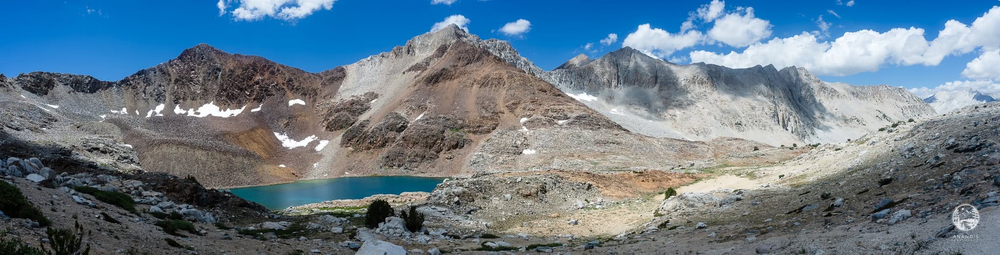
The view from the summit of Pinchot Pass is both awe inspiring and tough.
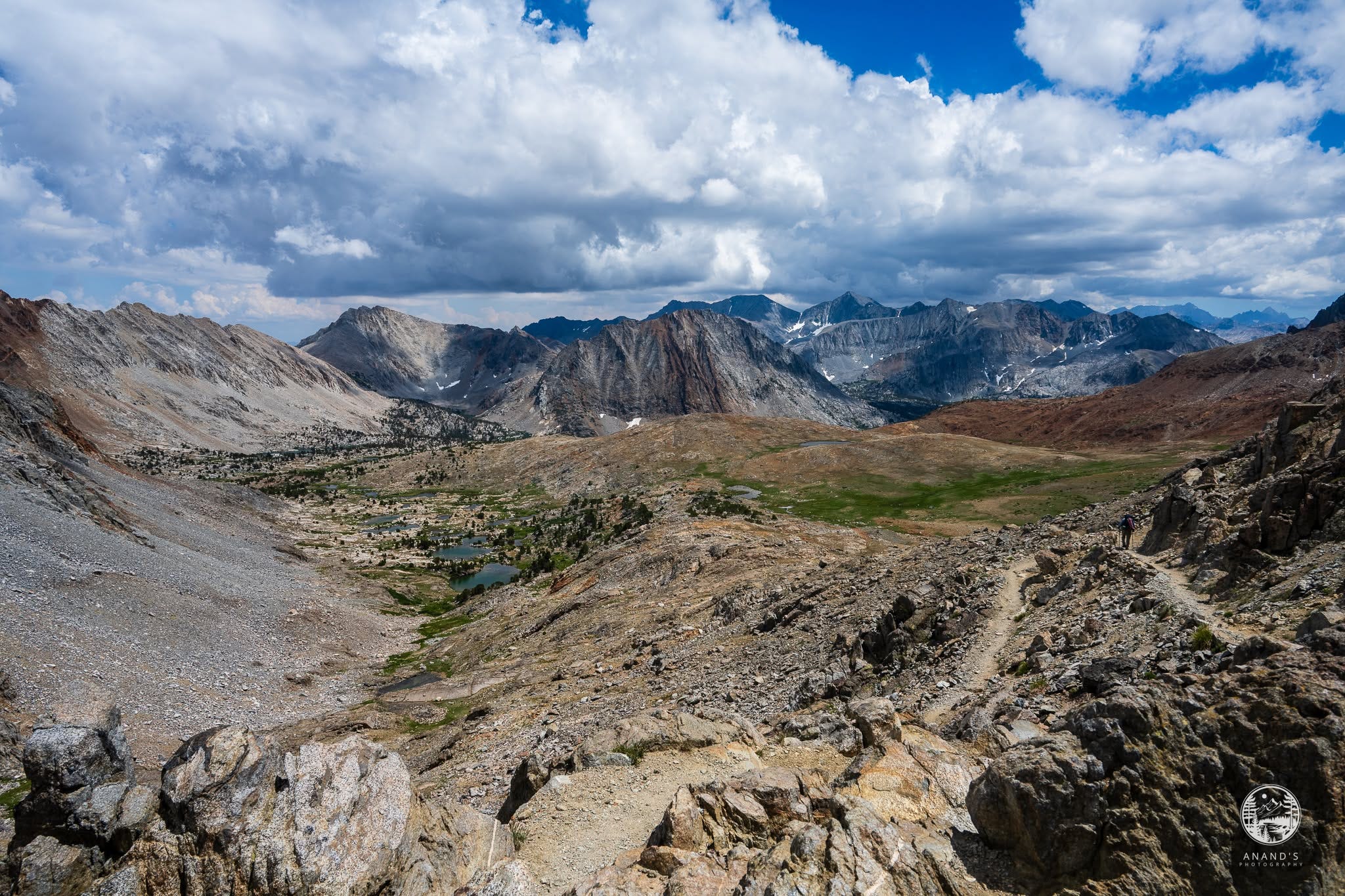
The heat got to us and we camped at the first large campsite in flat ground where we had access to Woods Creek. The Woods Creek suspension bridge was another 3 miles away and as much as I liked to push till the bridge, we camped early.
Day 6: Woods Creek to Middle Rae Lake
https://www.alltrails.com/explore/custom-routes/day-6-woods-creek-to-middle-rae-lake-cf6073a
After three miles of downhill, we made it to the suspension bridge. The newly built suspension bridge was a fun experience.
One of our group, who went ahead in this section, got lost. Instead of continuing towards JMT, he started hiking towards Paradise valley. The other two of us stayed on either side of the bridge and waited an hour. Thankfully, the lost hiker met other hikers coming from Paradise Valley and got back to the bridge, so we could continue the climb to Rae Lake.
Again, this six mile section climbs 2,400 feet and is considered by hikers as an easy hike. It got very hot and we struggled in the heat. By the time we got to Dollar lake, it was 5pm. We had to take our packs off, take a dip in Dollar lake to cool off, made and had tea. That sugar rush is what we needed for the last two mile push to Middle Rae Lake just in time for sunset.
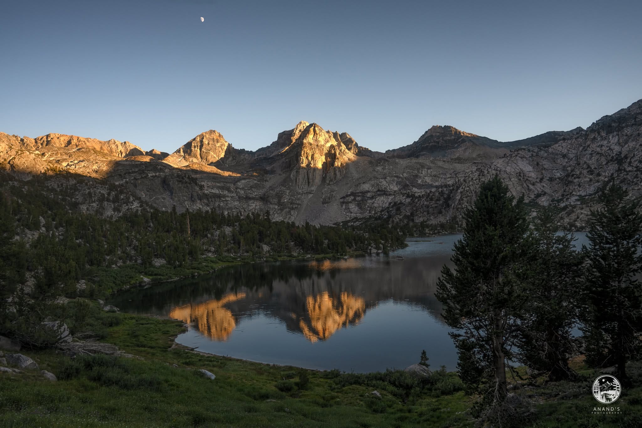
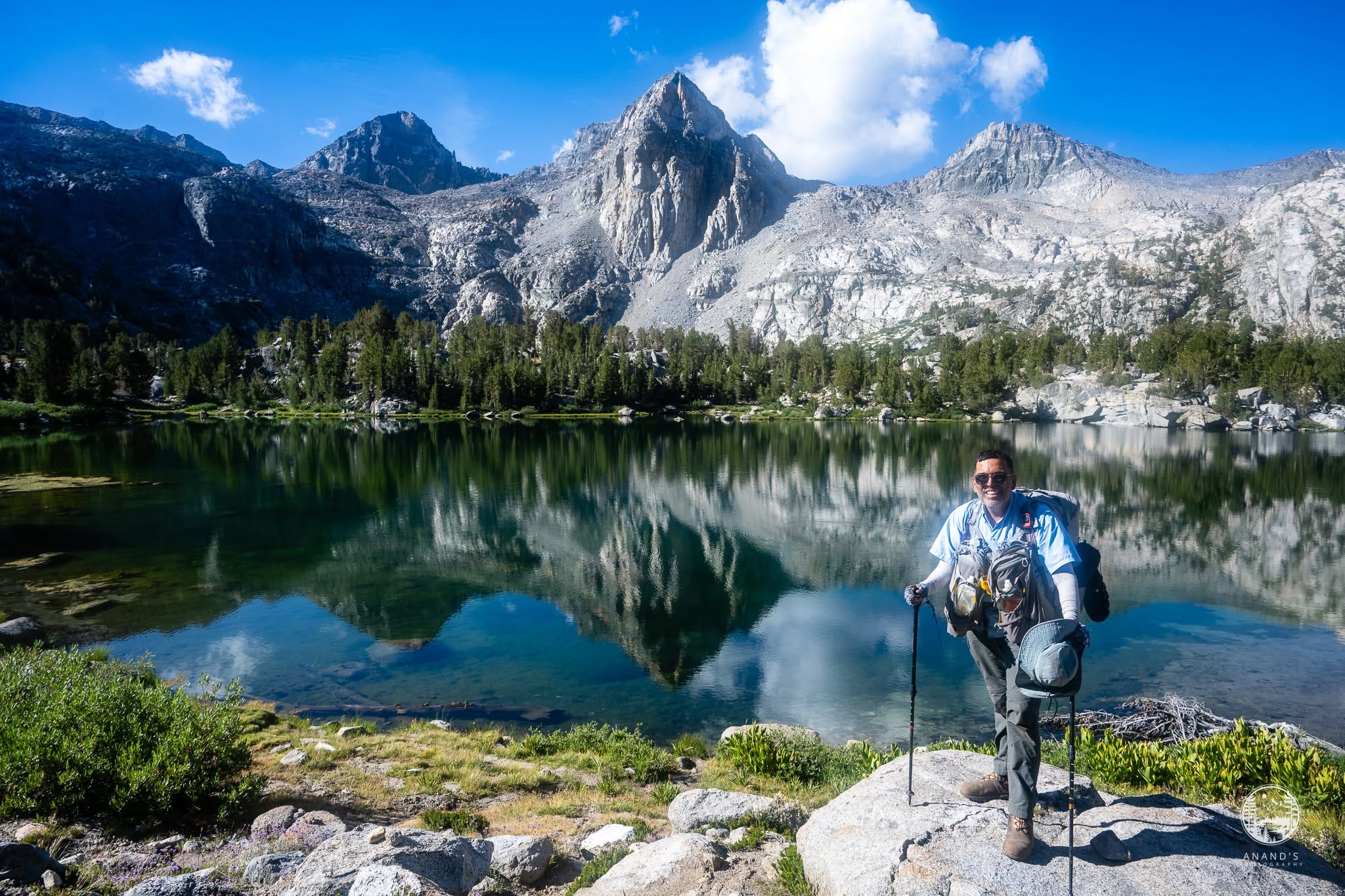
When I reached the Middle Rae Lake, I completed my John Muir Trail and I celebrated, too exhausted for the day, but glad it is done.
Day 7: Middle Rae Lake to Kearsarge Lake
https://www.alltrails.com/explore/custom-routes/day-7-rae-lakes-to-kearsarge-lakes-c0c3390
I have done this section before, but it didn’t really prepare me for enough for the climb that Glen Pass is.
Looking towards the sixty lake basin reminded me of Upper Lyell Canyon again.
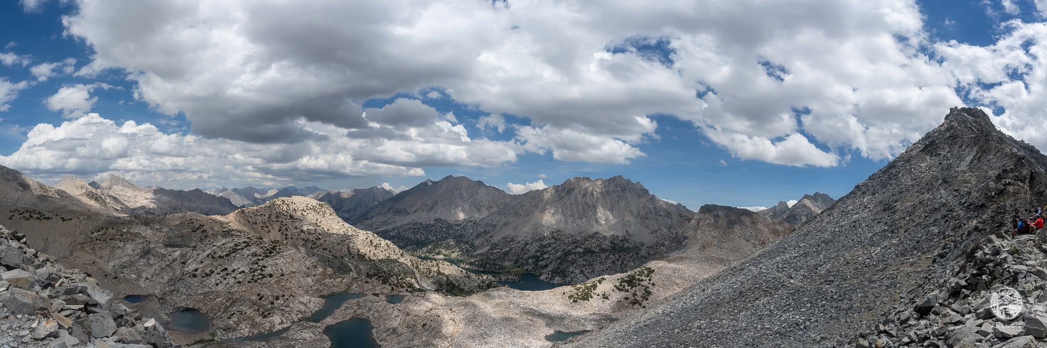
As we got down from Glen Pass, Charlotte Lake comes into focus, and thunder and lightning started again. We decked ourselves up again with rain pant and rain jackets. This time, the thunder and lightning was intense and we pushed hard in the rain.
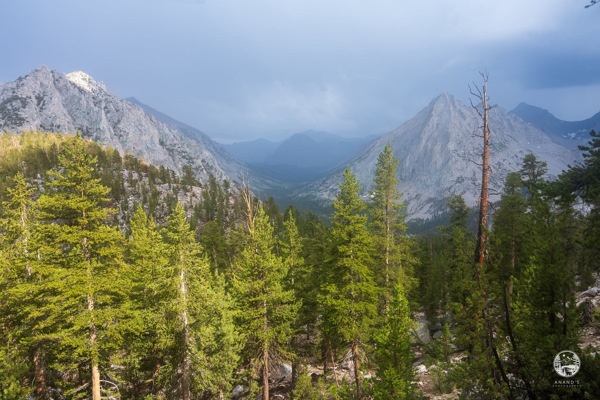
As with most Sierra thunderstorms, by 5pm, the rain abated. We took a break at Bullfrog Lake, had tea and then did a final push towards Kearsarge Lakes.
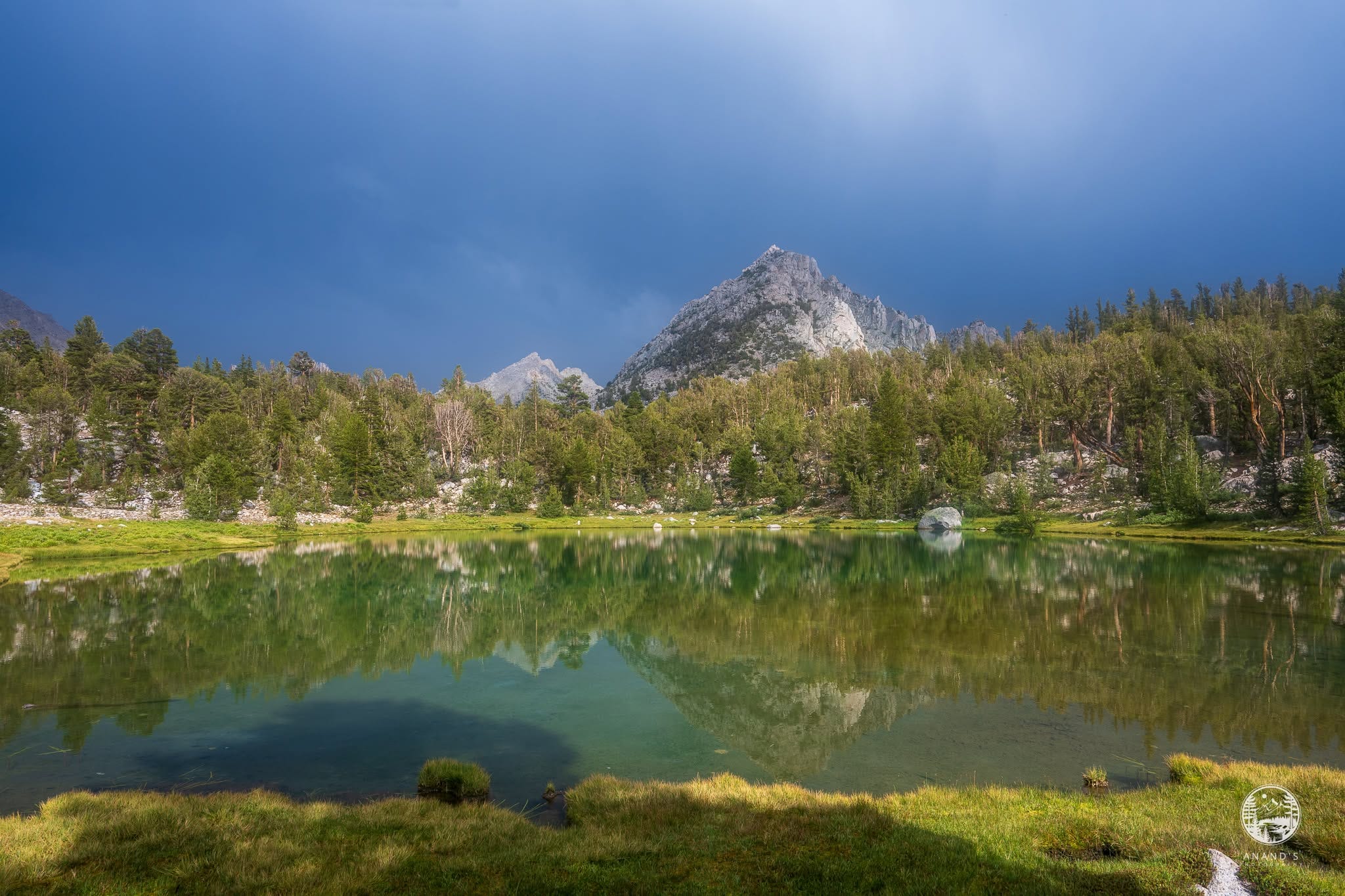
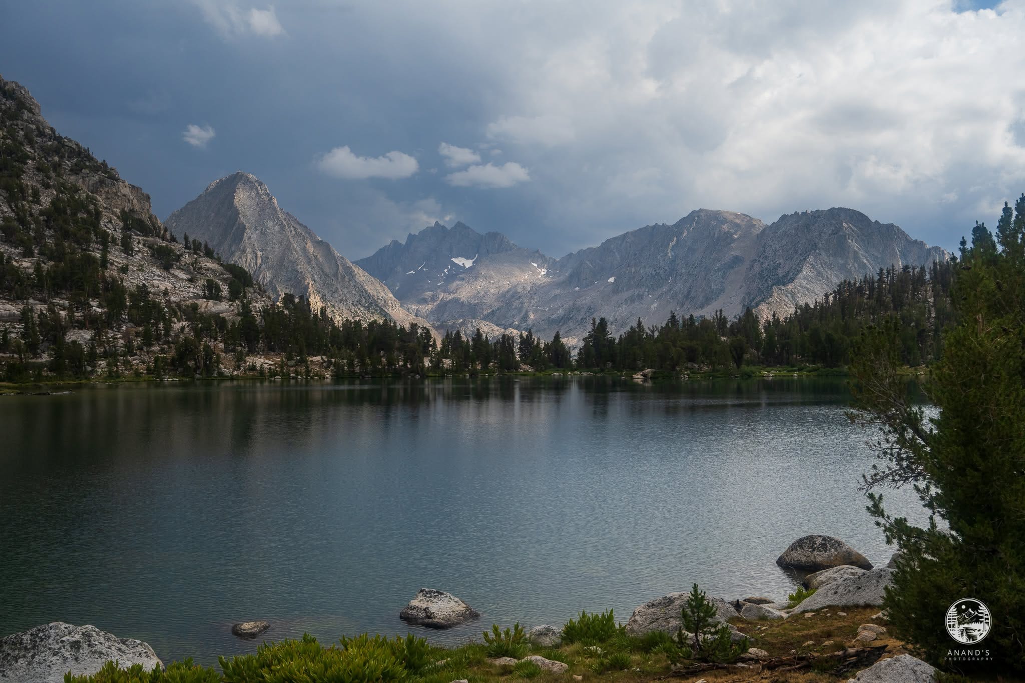
Kearsarge Lakes is magical as always. This was my third straight year staying here and my fourth night at the lakes.
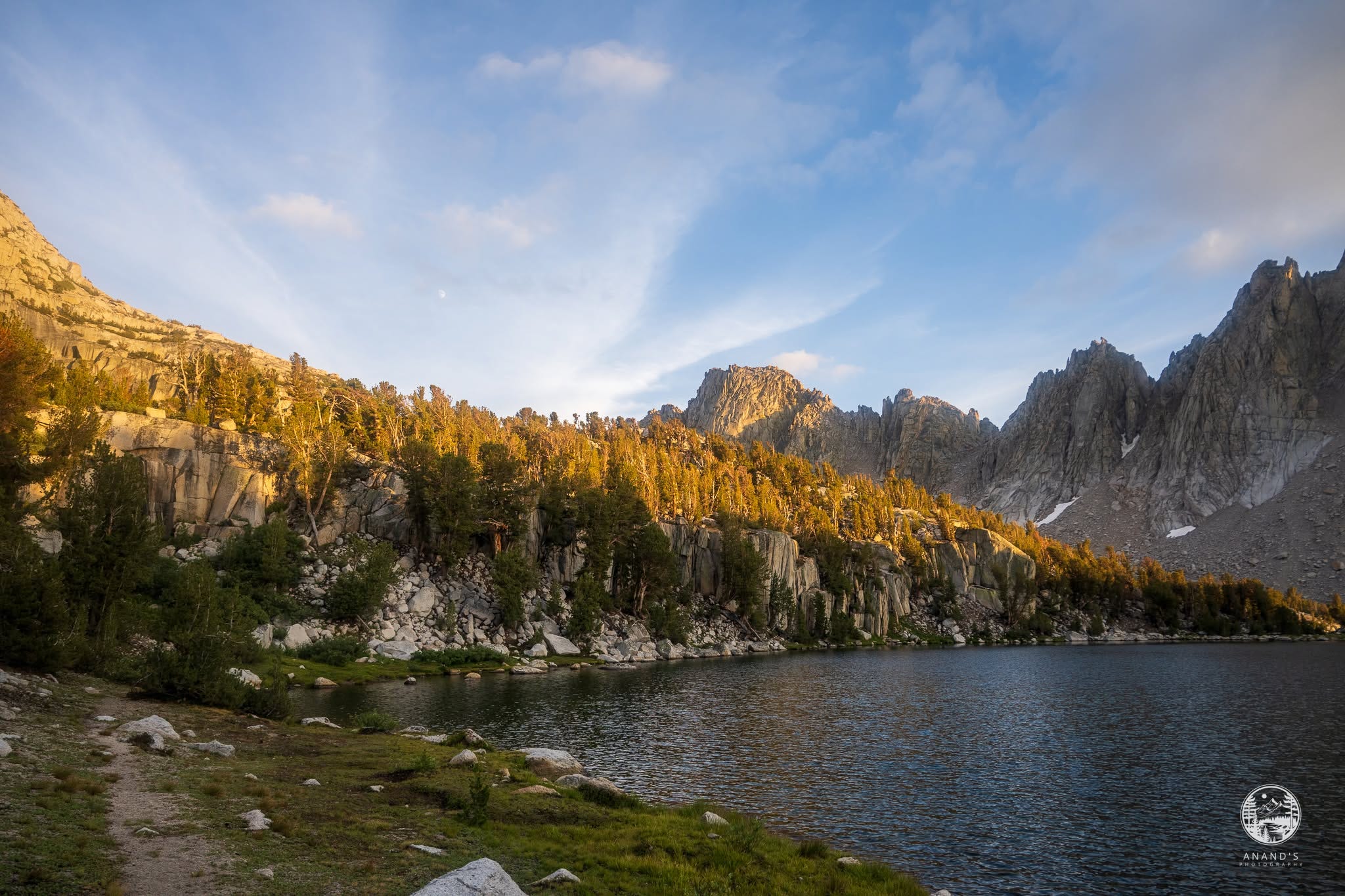
Day 8: Kearsarge lake to Onion valley
https://www.alltrails.com/explore/custom-routes/day-8-kearsarge-lakes-to-onion-valley-7132fd7
The last day took us over our fifth pass, Kearsarge Pass and dropped us down to Onion Valley. I called David Pedersen from the trail and told him we would come down earlier. He met us earlier than promised, and drove us down to South Lake trailhead. We had a lovely conversation about the Sierra Nevada and living in Bishop.
Fit hikers can do this section in about five nights. Seven nights was pushing it for us. I don’t think we were trail hardened and trail ready and it showed. I will write about some of the gear failures we had in a later post.
Awesome achievement! Nice write-up. 🎉👏🏽🙏🏽
Amazing journey. Great pics!