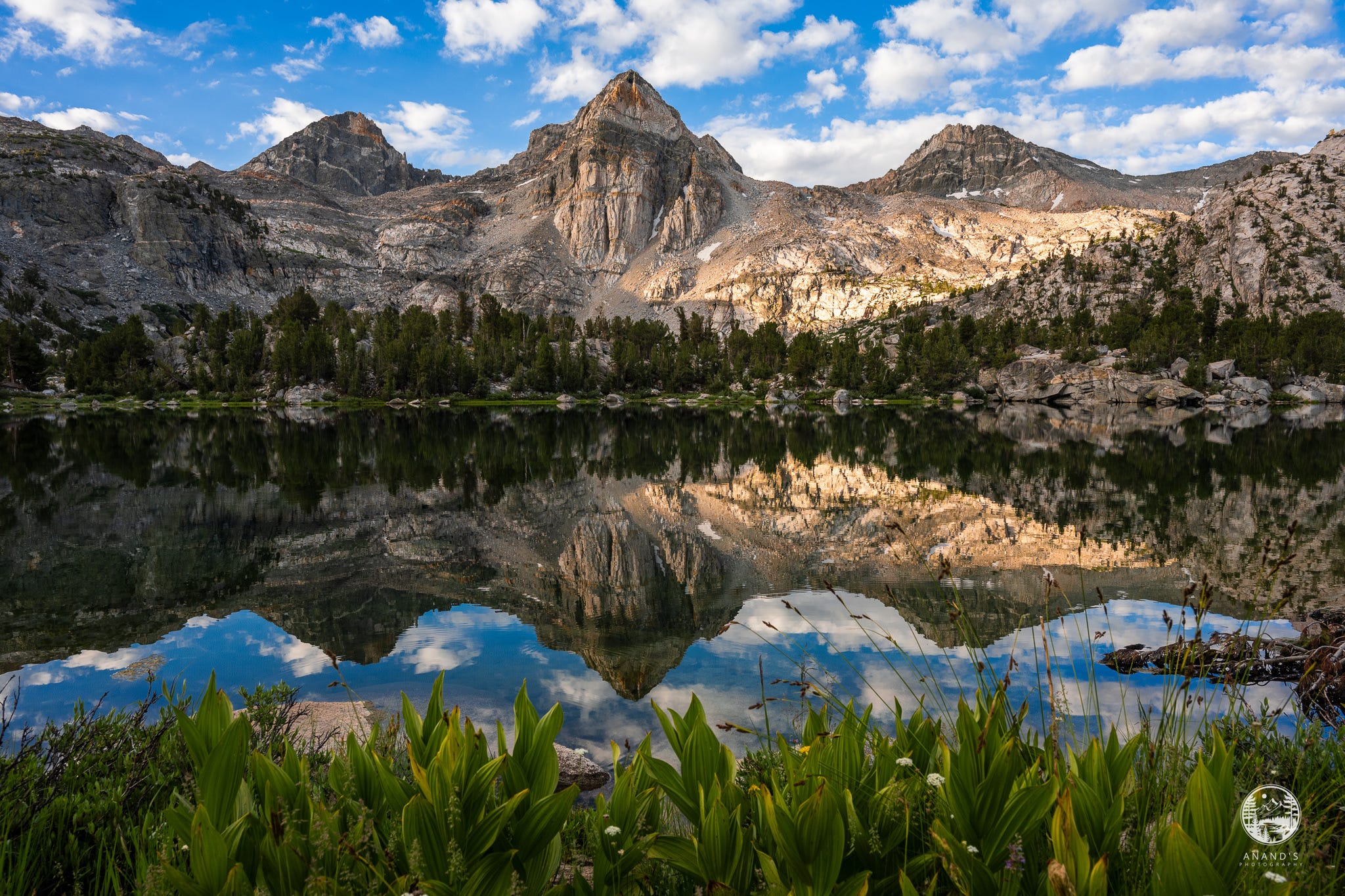
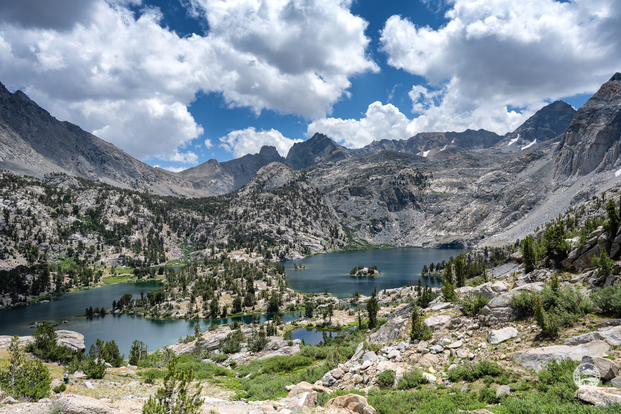
Rae Lakes
Well made plans and High Sierra weather!

Hello, it's been a while since I wrote a newsletter on NorcalHiker. One of the reasons being my art shows and photography business has taken a lot of my time. I've done a lot of art shows exhibiting photos from the High Sierra and I've met some remarkable people who have hiked the High Sierra as well. I met Ansel Adams’ one time realtor; I have met multiple people who worked on the PCT and the JMT building the trail, including the person who said that they were among the first set of people who actually created the trail for Thousand Island Lakes. It's been quite remarkable, but it's taken my time away from doing anything else.
So coming back to hiking, this year, yet again, I tried to hike the section between Cottonwood Pass and Kersarge Pass. If you remember last year, I had two permits to hike the section between Cottonwood Pass and Kersarge Pass. I had a permit for end of July and the snow conditions were so bad that even end of July was not safe enough. There was still a lot of snow on the trail, so I skipped it. I had another permit for end of August; a couple of days before I started hiking, hurricane Hillary made landfall and it was very unsafe, particularly to climb that section, the highest section on the JMT. So instead I went to Snow Creek for a very short two-day hike instead.
This year, I had a permit to go the other direction from Kearsarge pass to Cottonwood pass.
This was the plan to hike the section over six days. Each day is marked in different color: https://www.alltrails.com/explore/map/kearsarge-pass-to-horseshoe-meadows-dd50e4d
Day zero, we drive from the Bay Area, leave a car at Cottonwood Pass. We would then leave another car at Onion Valley, stay overnight at the Onion Valley Campground for acclimatization.
Day one, we will go over Kearsarge Pass and stay at Kearsarge Lakes.
Day two, we join the JMT and start going south to Upper Vidette Meadows, cross all of Vidette Meadows and camp near the base of or start climbing towards Forester Pass.
Day three, cross Forester Pass and camp near Tyndall Creek.
Day four, hike all the way past Wallace Creek to Crabtree Meadows.
Day five, Crabtree Meadows to Soldier Lake crossing Guyot Pass.
Day six, Soldier Lake over Cottonwood Pass and exit. Drive the car from Cottonwood pass, pick the other car at Onion Valley, stay at Lone Pine overnite and return.
Unfortunately, this year as well, thunderstorms rolled in the week we were planning to hike. When we visited the ranger at the Lone Pine ranger station to check weather conditions, they advised to expect thunderstorms pretty much every day for the next four days. The ranger recommended us to be below the tree line before 11 a.m; this meant crossing Forester Pass before 11 a.m. and getting down.
Do I really want to be on the Forester Pass when it starts snowing and hailing? I wasn't really sure.
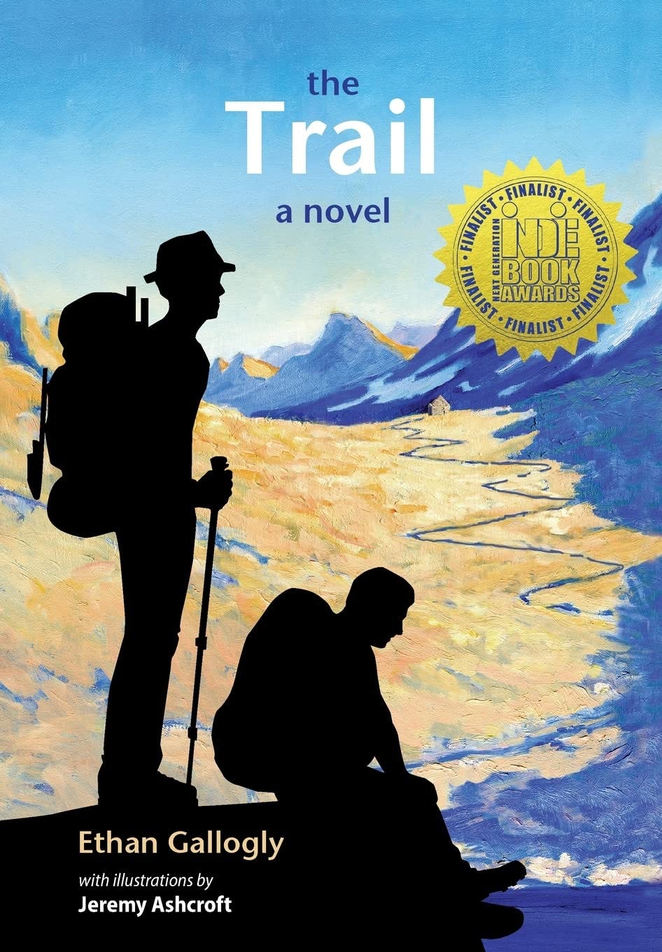
I had just also finished reading the fantastic book called The Trail by Ethan Gallogly, where the two protagonists actually end up in a severe snowstorm going up Forester Pass and coming down. It was still fresh in my mind.
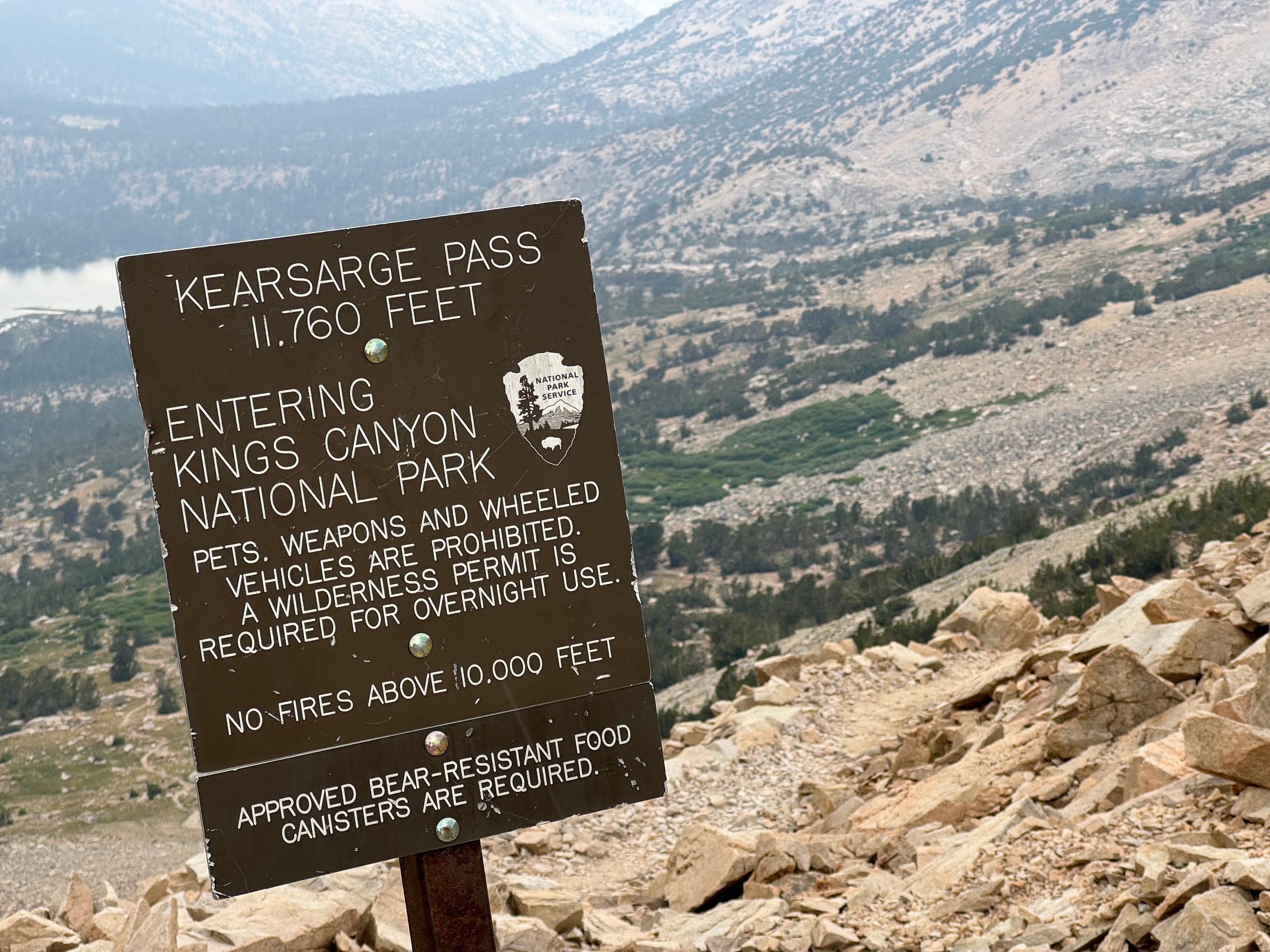
Day one, we go over Kearsarge Pass and we see these dark clouds rolling in. The summit of Kearsarge Pass to Kearsarge Lakes is roughly about a mile and a half. My friend and I sprinted down to the lakes. Since I am fairly comfortable setting up my Tarptent Double Rainbow Li tent under duress, I was able to setup my tent within a minute and stay dry.
But the rest of my group members were not so lucky. A lot of them got drenched, thoroughly soaked and the rain did not let up for a couple of hours. My experience with High Sierra summer thunderstorms is they happen over 30-45 minutes, and clear quickly. This time when it rained, it rained for hours. When thunderclap started, the thunder went on for hours.
We had a couple of first timers to the High Sierra multi-day backpacking who were this added to my pre-existing concerns about crossing Forester Pass under questionable conditions had me rethinking our plans. So I came up with a plan B. Working with my friends, we decided to shorten the hike and instead of going South, we go North to Rae Lakes. We would do nero or zero days alternatively and end our days early before the rain came in.
So the revised plan was:
Day 2: Kearsarge lakes to Charlotte lake
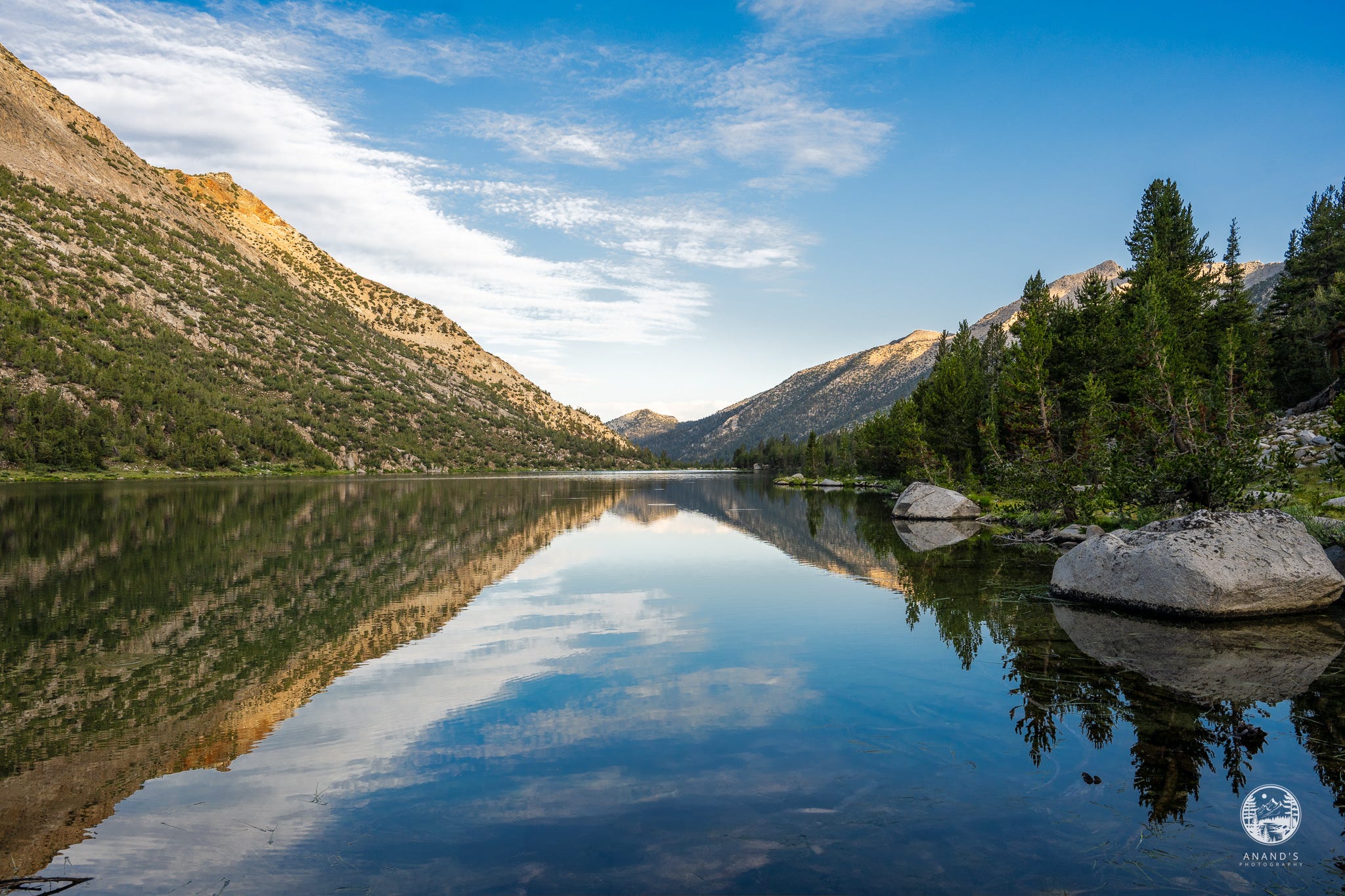
Day 3: Charlotte lake to Rae lakes over Glenn pass
Day 4: Stay at Rae lakes
Day 5: Return to Kearsarge lakes
Day 6: Return to Onion valley.
Note that rangers now allow you to stay two nights at Rae Lakes (it used to be one night). On day 2, after a short hike to Charlotte lake, thunder and rain followed us for over an hour of stunning thunderclaps. I was too stunned to react to even make an audio recording.
I had somewhat conveniently forgotten is the Glen Pass is probably the second hardest pass after Forrester Pass. People who have done Muir Pass, particularly northbound may disagree with this or Donahue Pass, southbound may disagree with this, but Glen Pass is hard on both directions. Little did I know that doing an out and back hike, I would be crossing Glen Pass and Kearsarge Pass in both directions.
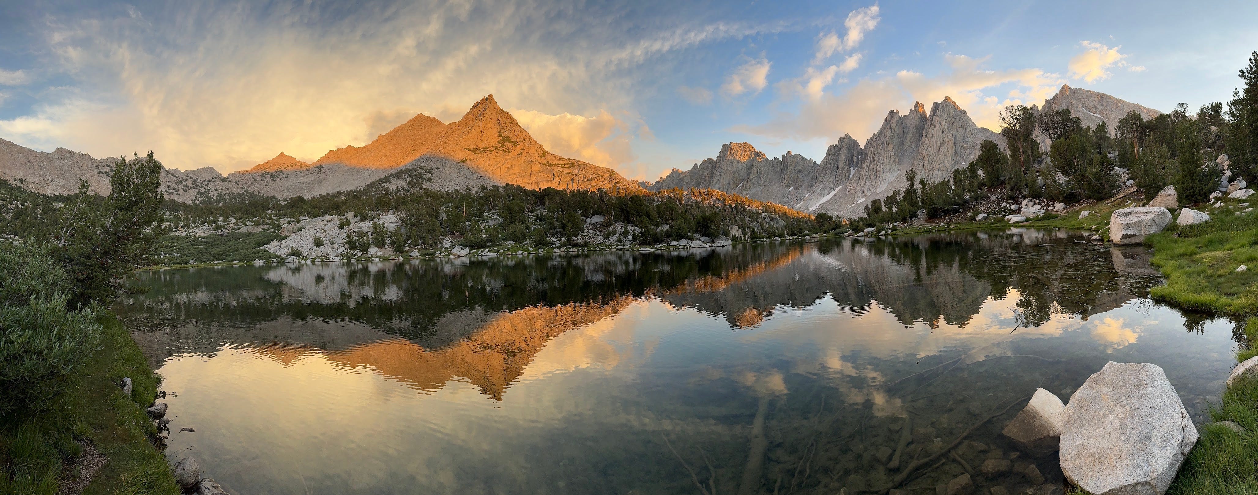
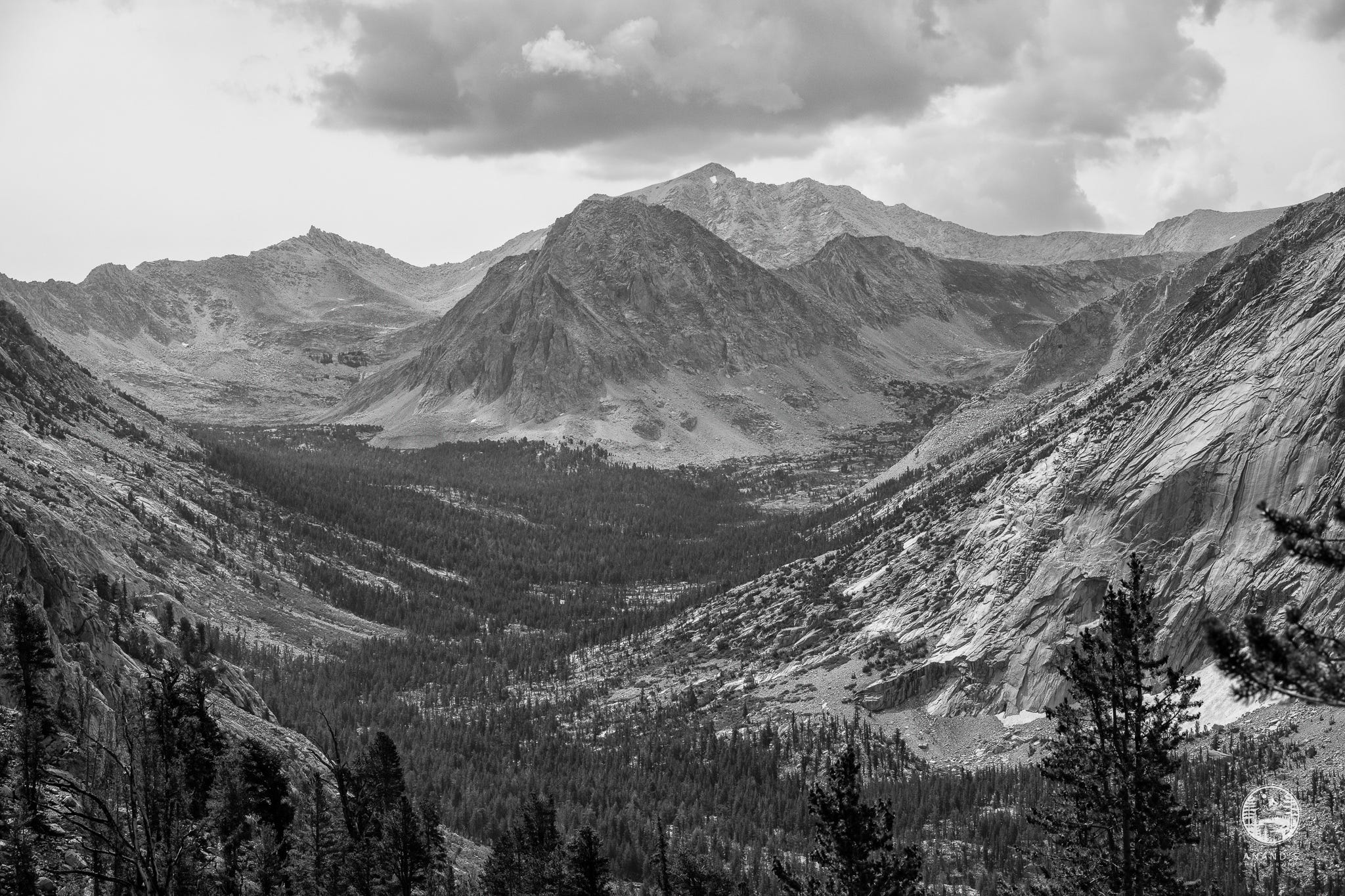
Day three, again, we had to brave the thunderstorms and rain. Couple of us who were able to go ahead on day one, we scrambled and we were able to find a fine camping spot right across from the Painted Lady.
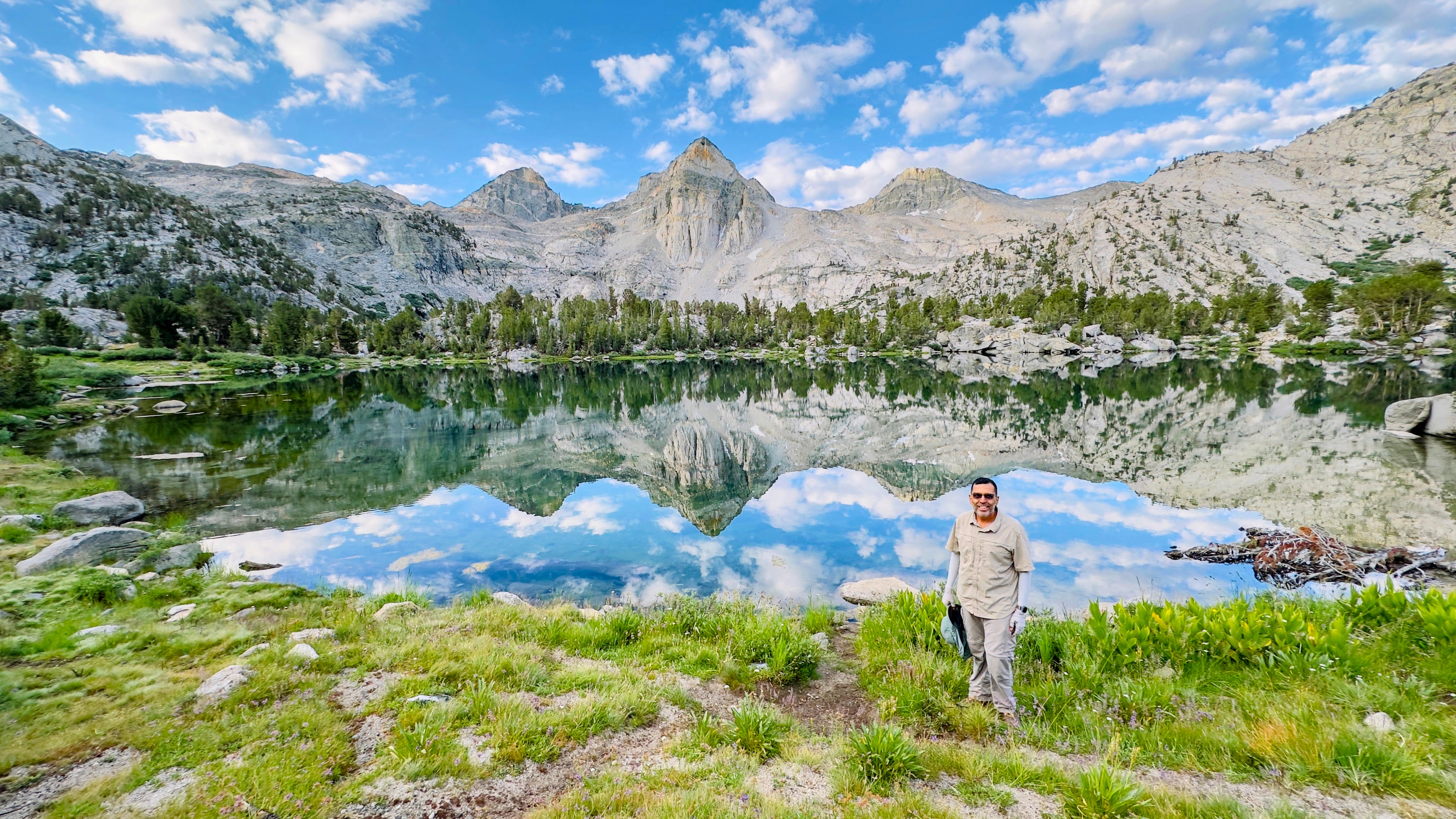
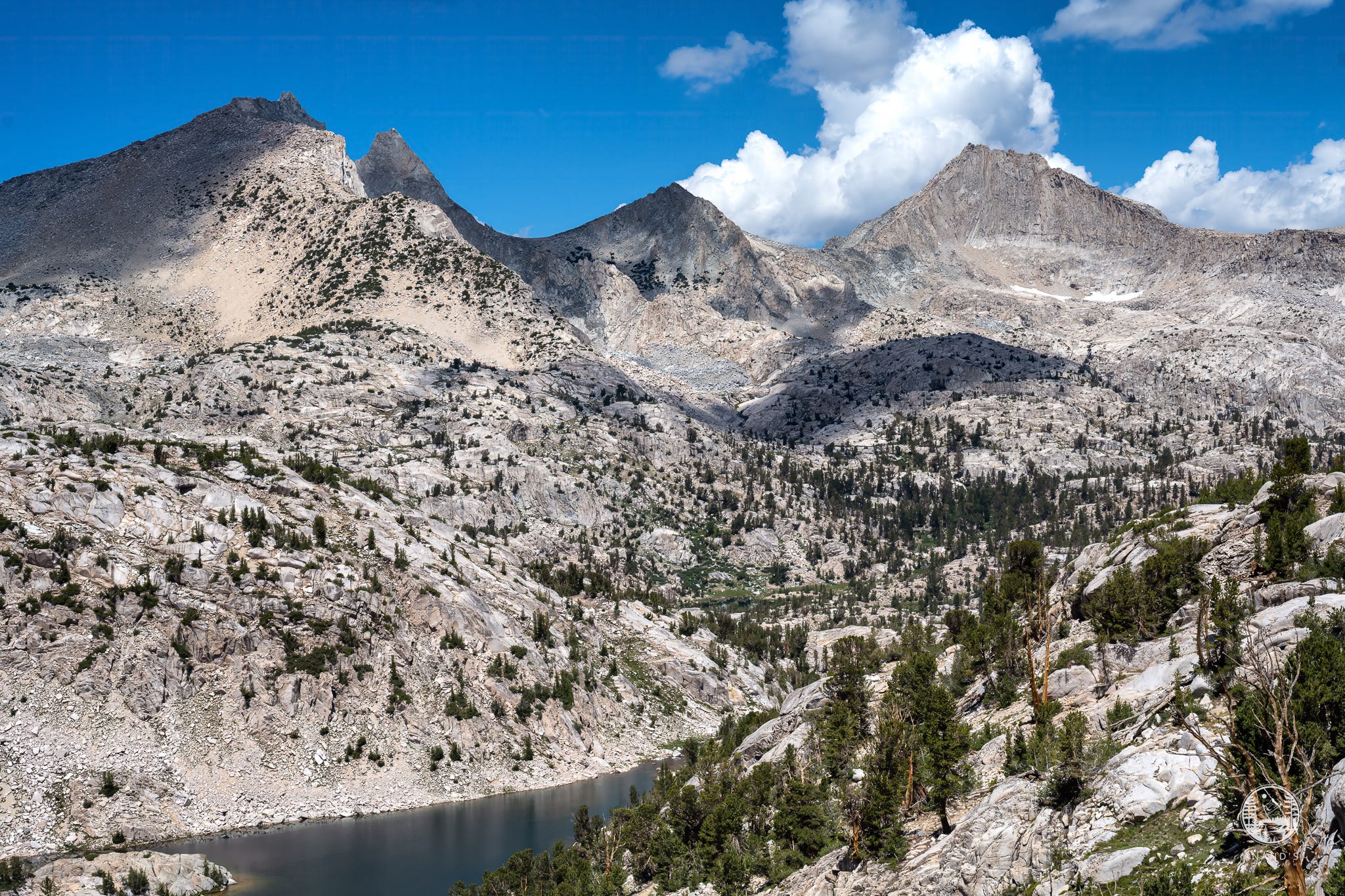
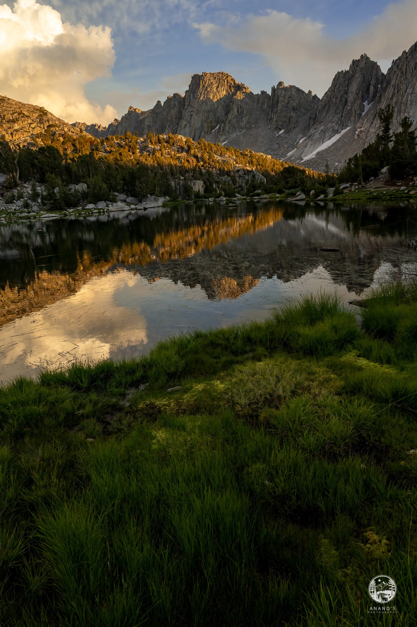
Note that while FarOut suggests there are 5+ campsites at Middle Rae Lakes, it is well over 200. It is almost impossible to locate your group if you get separated. Luckily, our group found us. We stayed there on the third and fourth nights, and took a day hike to the sixty lake basin on day 4. The sixty lake basin is a destination in itself worth exploring for many days.
This is the first time in any of my through hikes that I've stayed two nights at the same campsite. I see doing zero days going forward a lot to unwind and relax.
Day five, we woke up and started going southbound over Glen Pass. The trail going up southbound to over Glen Pass is one of the toughest I have done. It is a lot of scree and talus. A lot of the ways reminded us of the Mount Dana hike, which when you have a fully loaded backpack, when the ground is moving under you, a proper and total ankle buster.
Thankfully, the rain had stopped and we stopped racing time to get to the campsite before it rained. Day five, we ambled our way back down south back to Kearsarge lakes.
The last day was gorgeous sunrise at Kearsarge Lakes. I didn't expect that I would be camping at Kearsarge Lakes for two nights, but on our first night and on our last night. Going down Kersarge Pass back to Onion Valley on day six, it is a relentless five mile downhill once you summit. The first mile and a half we climbed quite significantly from Kearsarge Lakes to Kearsarge Pass, followed by over a five mile descent.
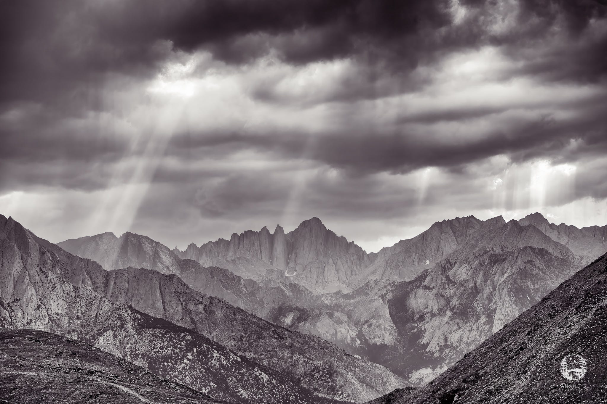
Since we had a car at Onion Valley, we drove back to Lone Pine and stayed at the Best Western there. A couple of us drove up to Cottonwood pass to retrieve our second car. We were treated to some gorgeous views of Mt. Whitney.
Here is the strava link tracking the hike: https://www.strava.com/activities/12012231665. Note the elevation profile :).
I will be displaying the Rae Lakes photo and many photos from the High Sierra at my upcoming art show at Livermore Art Walk, on Oct 12th, 2024, in downtown Livermore. If you are in the area, please stop by :).

Until the next time, goodbye and happy trails.