Ten Lakes Basin
A weekend at Ten Lakes

Ten Lakes Basin is a popular weekend backpacking area within Yosemite National Park. It is also one of the easiest hikes to obtain a wilderness permit. There are 24 permits available during the normal reservation window and another 16 or so for walk in. There are really ten lakes to camp there and the camping area is large so it can accommodate a lot of backpackers.
We had reserved a one night backpacking trip on Memorial Day weekend. We started with a small set of people, and due to various reasons, the number of our group grew to 14. Logistically, managing a group of this size is hard and led to challenges, but more on that at a later time.
We stayed overnight at Yosemite Lakes RV Campground on Saturday night (5/29/21) and regretted it immediately. The three bathrooms at the Ponderosa campsite were not open due to human error. We had to walk a quarter mile after crossing the Tuolumne River across hundreds of RVs to share a tiny little bathroom on the other side. Last year, at the peak of the pandemic, the hillside campground was oversold and we had to pitch our tents in a small car parking area. This is the last I will stay in this. Going forward, my money would be spent at Yosemite Pines RV Resort instead, which has better facilities and their yurts have attached bathrooms.
(Photo credits to multiple people who hiked with us on this trail. My apologies if I don’t name them here, I just don’t know who took what photograph).

Thanks to the day pass requirements at Yosemite National Park, we anticipated a long line to enter, however we left late around 9am from the campground and were stuck behind a few hundred cars at the entrance. Last year, Yosemite issued wilderness permits after attending the ranger talk over a WebEx call. This year, you had to go in person. So the permit holders got out of the cars and walked a mile to the ranger station to get the permits while the cars slowly dribbled their way into the park.
By the time we were at the Ten Lakes trailhead, it was 11am.
Tioga Road was not open until 5/27/2021 this year, which is surprising given that this year has been a low snow year. I expected the road to be open at least a couple of weeks ahead. Since we were among the first to hike this trail, there was not much information about the trail conditions. It had snowed the previous weekend and mountain weather kept changing on us. There was a 30% chance on 5/30, the night we were supposed to spend in the wilderness, but the day before the hike, weather moved so that the thunderstorms happened the night before on 5/29 (no rain in Groveland though) and we were spared. The rangers had limited knowledge of snow conditions on the trail. Our first valid information came in on the trail when hikers who had stayed overnight were returning.
The trailhead is on Tioga Road, just before Olmstead Point. On Highway 120, the trailhead parking is marked clearly. If you are following the speed limits (for the sake of bears), you won’t miss it. If you missed the sign, you are driving too fast. If you hit Olmstead Point, you have gone too far ahead, turn back.

AllTrails calls this trail “hard” and a 6.25 miles one way. I have a rule of thumb to apply a 1.25x factor on the NPS mileage and AllTrails mileage and that applied to this hike as well. Somehow, when you are going over switchbacks, the handheld devices such as Garmin and Apple Watch seem to measure more distance. The 6.25 mile hike was more like a 7.45 mile hike one way. Strava et al auto corrects for this somehow, but I suspect the watches are more accurate in the switchbacks. You do walk a lot more in switchbacks while climbing.
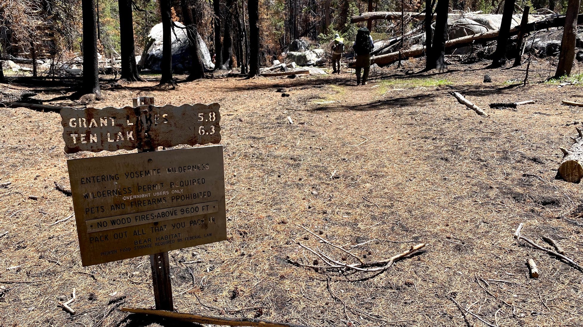
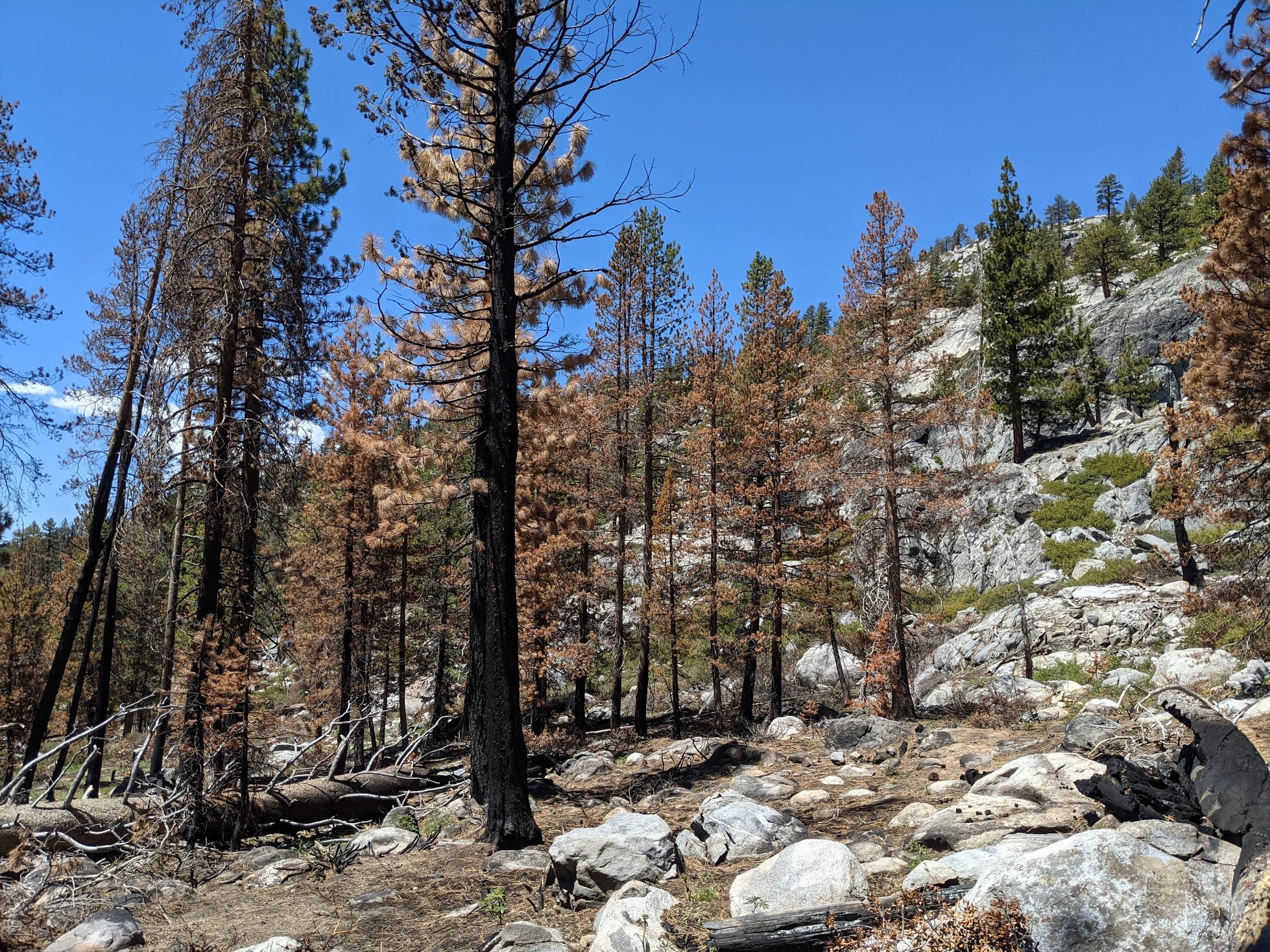
Within the first mile of the hike, we walked in an area decimated by fire. My friend Durgesh Srivastava who hiked this trail in the fall of 2019 said that this fire happened after his hike. We are not sure if this was a controlled fire or not, but it is eerie to walk among a burnt forest.

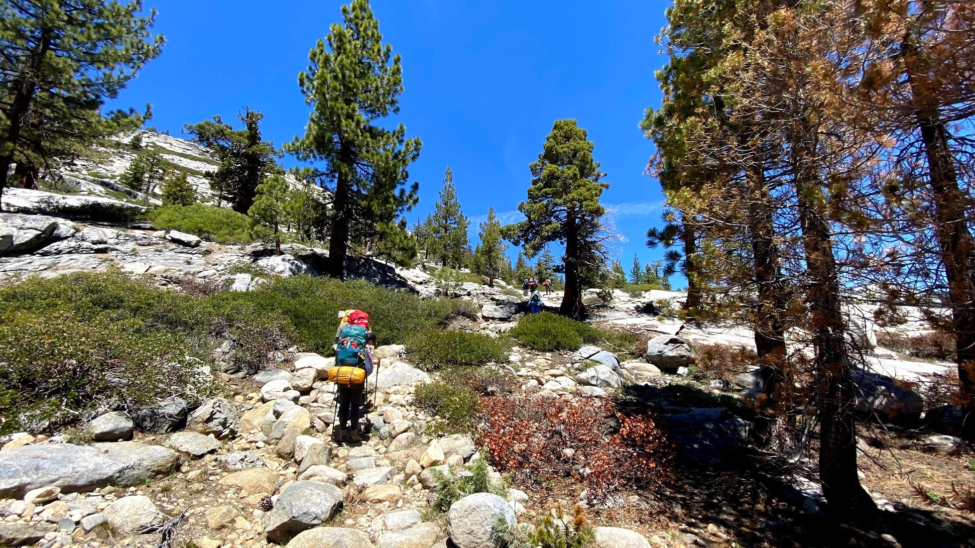
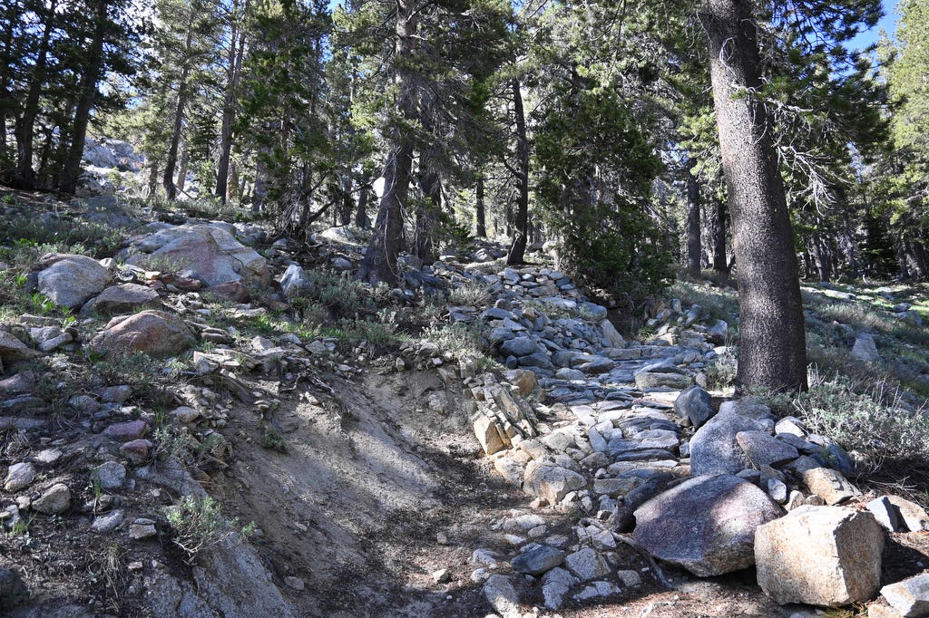
Almost very quickly the trail switches gear and changes to a rocky terrain where you have to be careful with your footing.

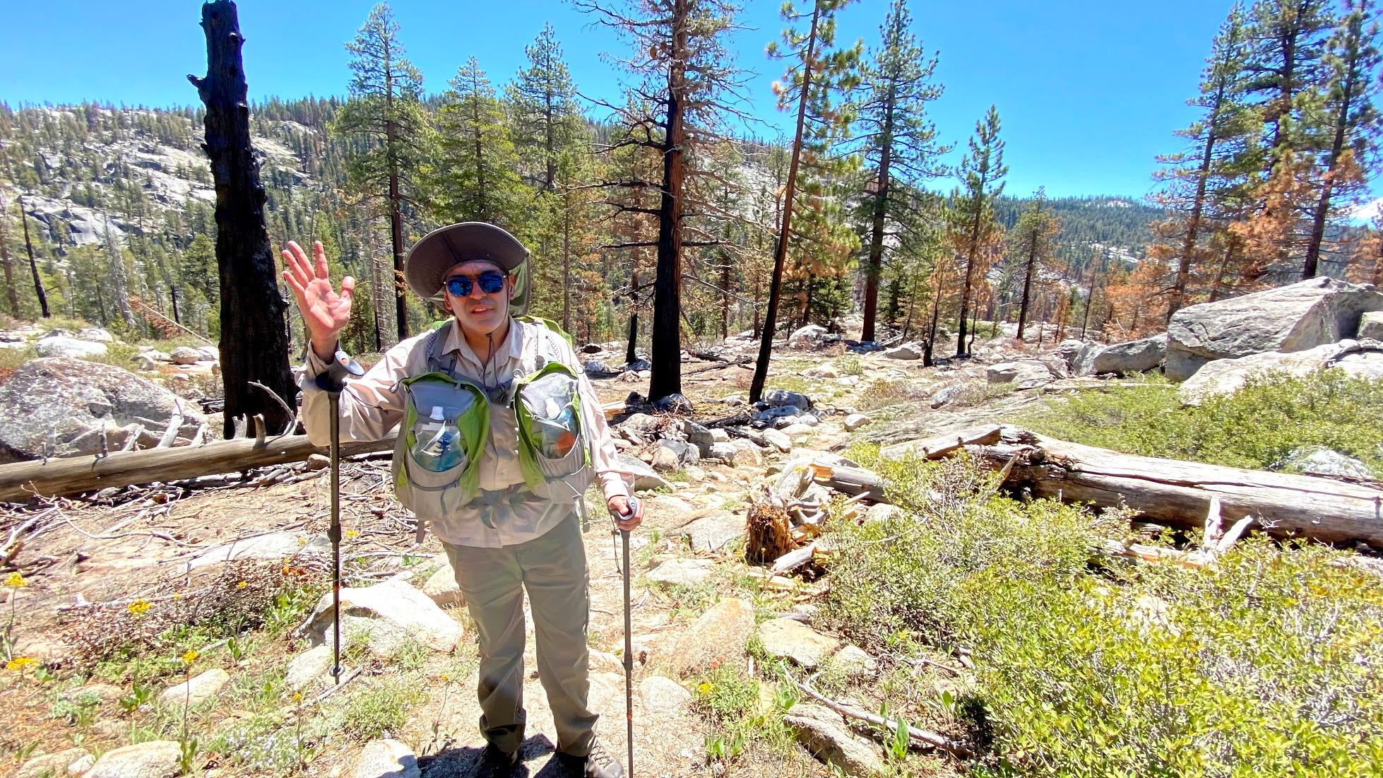
This is your author rocking an Aarn Featherlite Freedom in this section. The bodypack lived up to its reputation in how well it carried load.
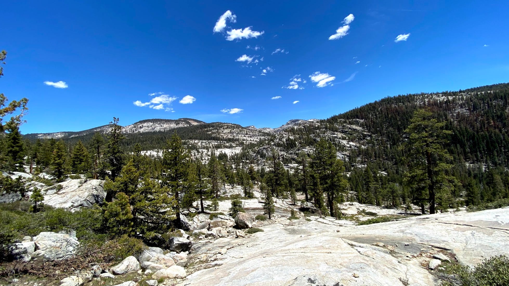
First sighting of the mountains showed us that there was little snow even at 10,000 feet summits.
Lots of fallen trees along the trail. There was a huge storm earlier this year at the park that downed a lot of trees, I am not sure when this happened, but there were many trail obstructions due to fallen trees that we had to work around.
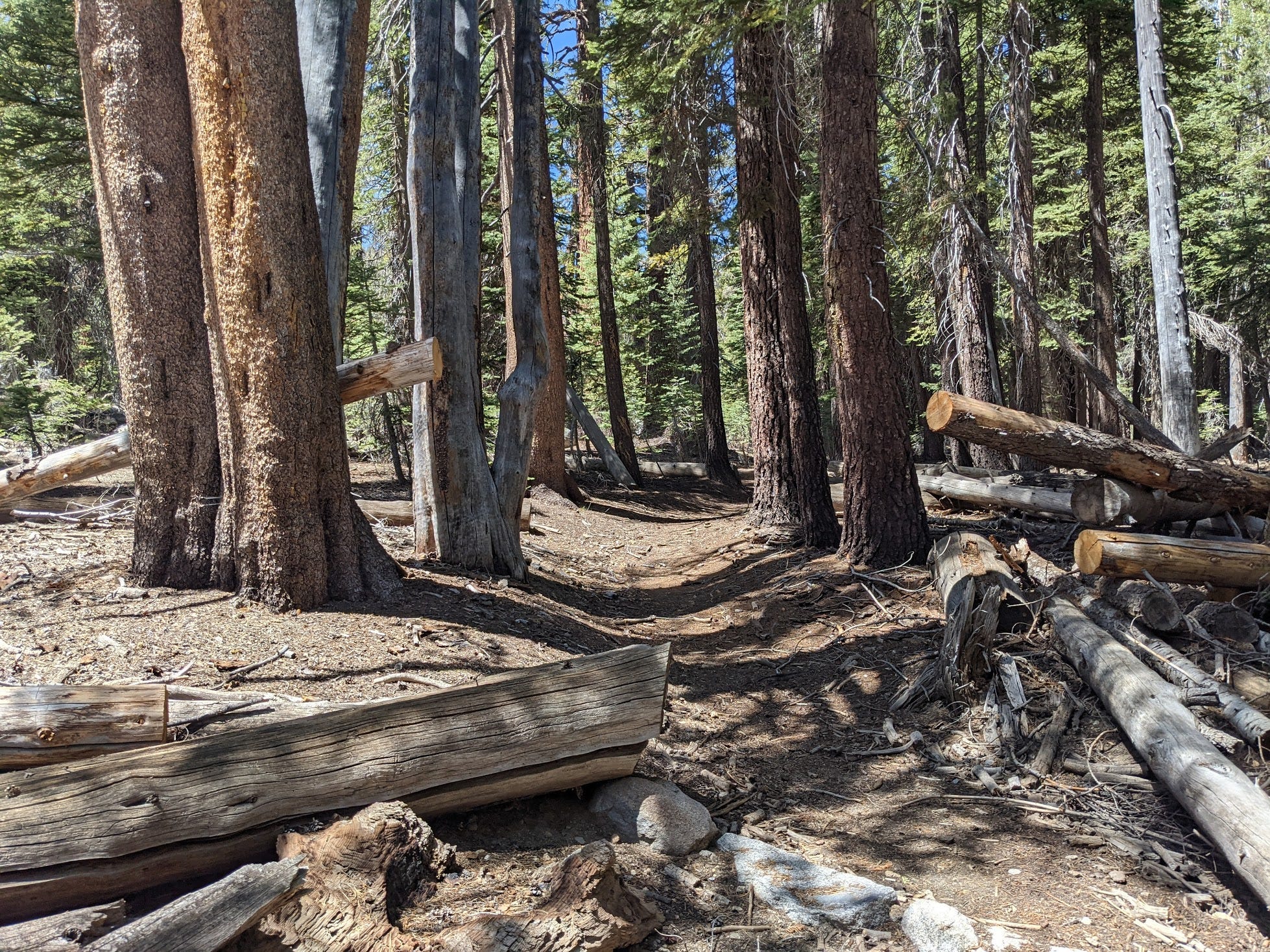
Once you go past the rocky terrain, the trail starts a gentle ascent towards the switchbacks. There are two crossings of Yosemite Creek, so we carried as little water as we can. Two liters was just fine and we refilled our water bottles at the second creek crossing.
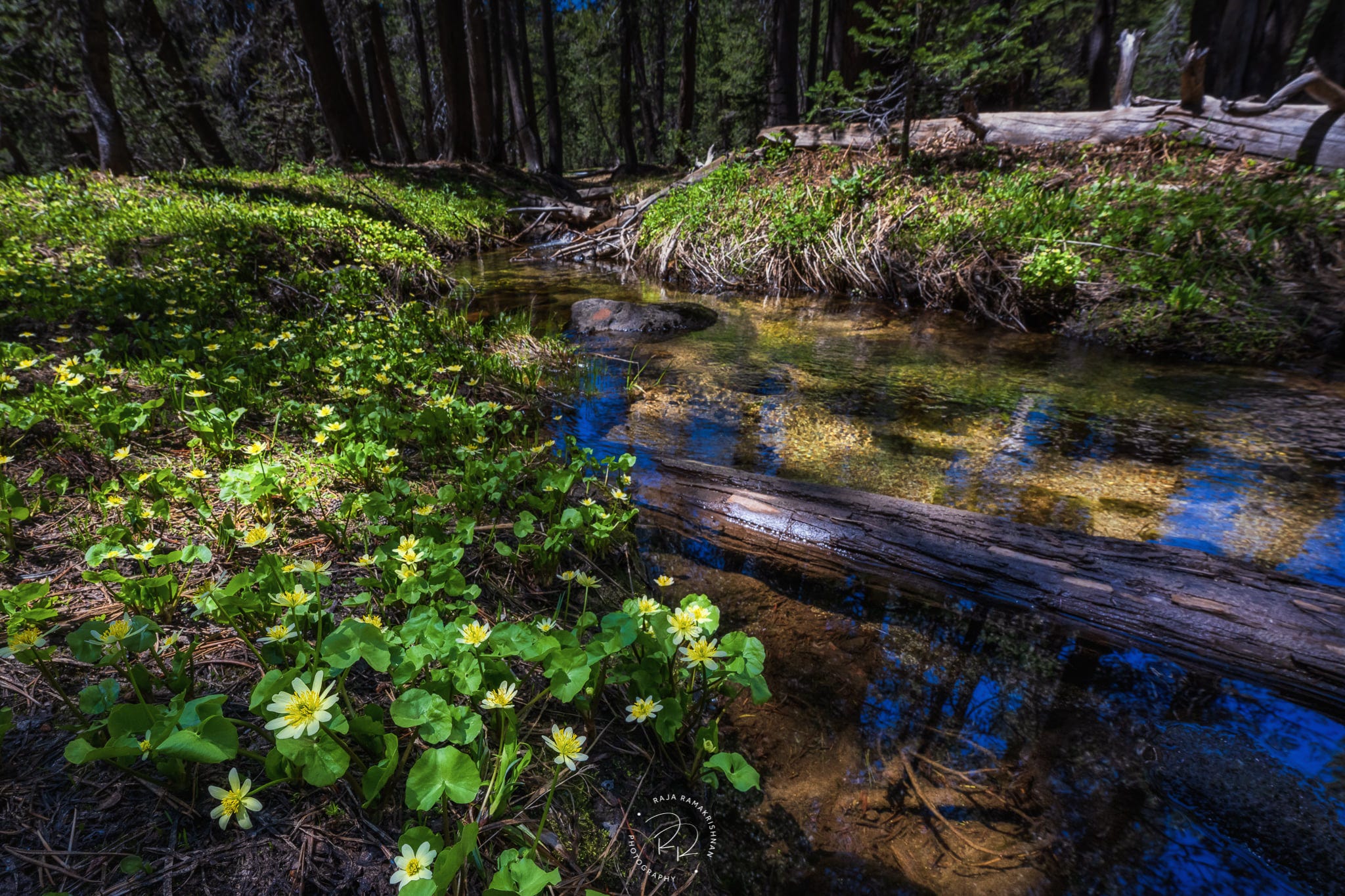
Wildflowers by Yosemite Creek.

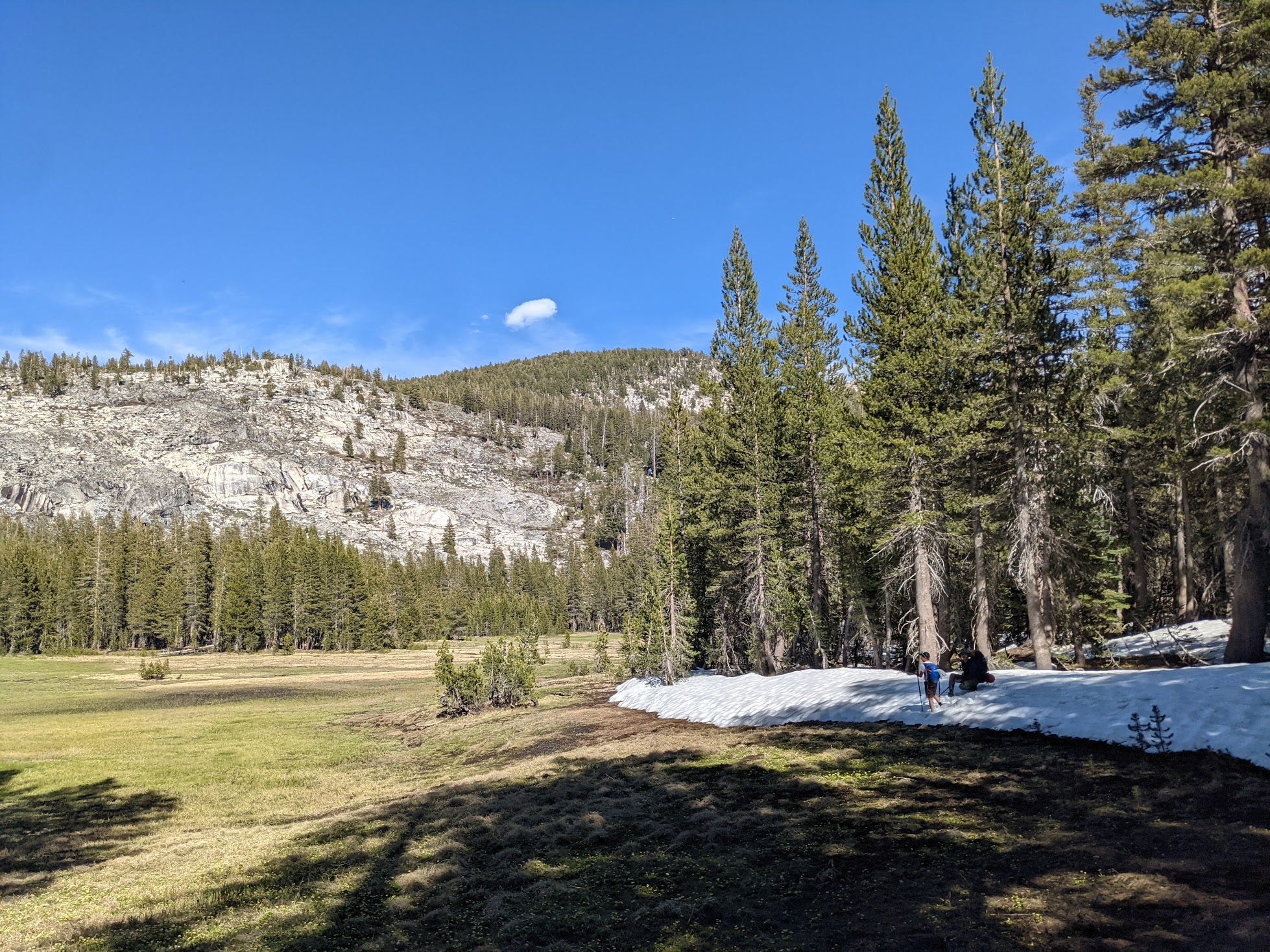
After nearly 3.5 miles of hiking, we reach halfmoon meadow. This is also where we saw snow for the first time in the trail. By now we have climbed about 1,400 feet to reach 8,900 feet.
Tip: Those leaves in the front are excellent replacements for toilet paper.

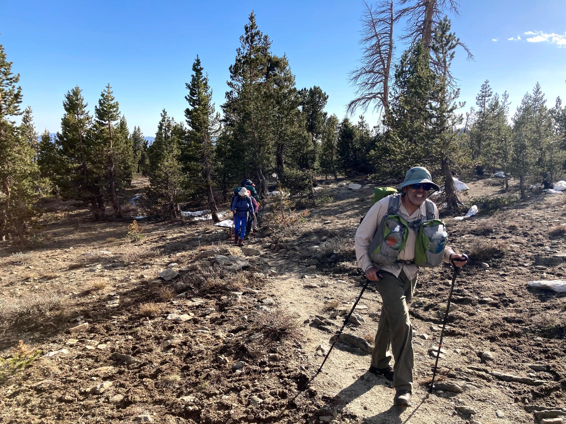
Right after these meadows, the switchbacks start. The switchbacks gain nearly 700 feet over a half mile or so (or slightly more). The switchbacks are what you expect them to be. Hard to climb, but doable if you are fit.
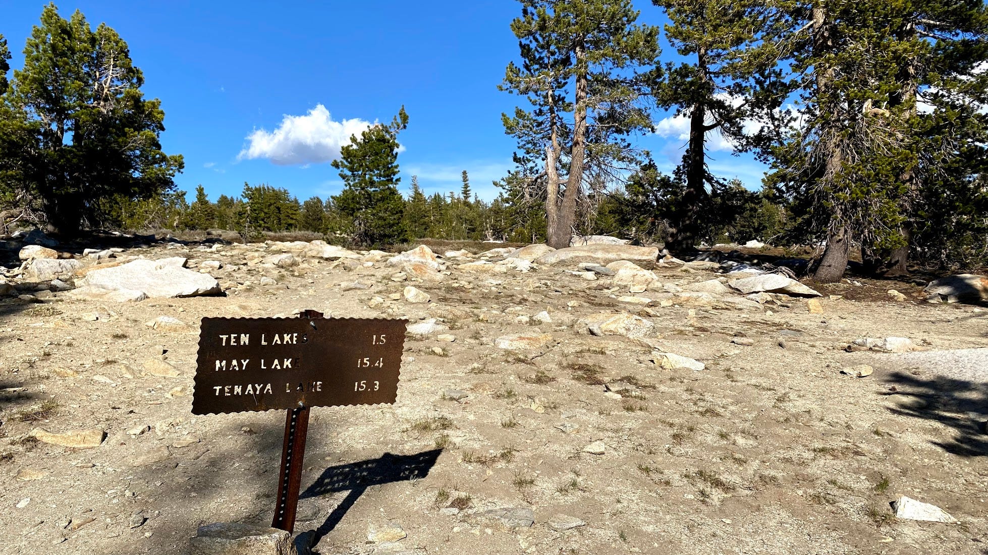
At the end of the switchbacks, we are at the pass, where you can either hike to Ten Lakes, or take a detour and head to Grant Lakes if you so prefer. By now, we knew from hikers that there was snow at Ten Lakes, but there were enough camping sites, so we stuck with our original plan and headed towards Ten Lakes.
From the pass, there is a flat half mile or so hike towards the ridge where you can look at the Ten Lakes basin. As you can see, my over-pronated feet are doing their thing dragging me over to the ridge.
People like you are who keep me in business - my Podiatrist.
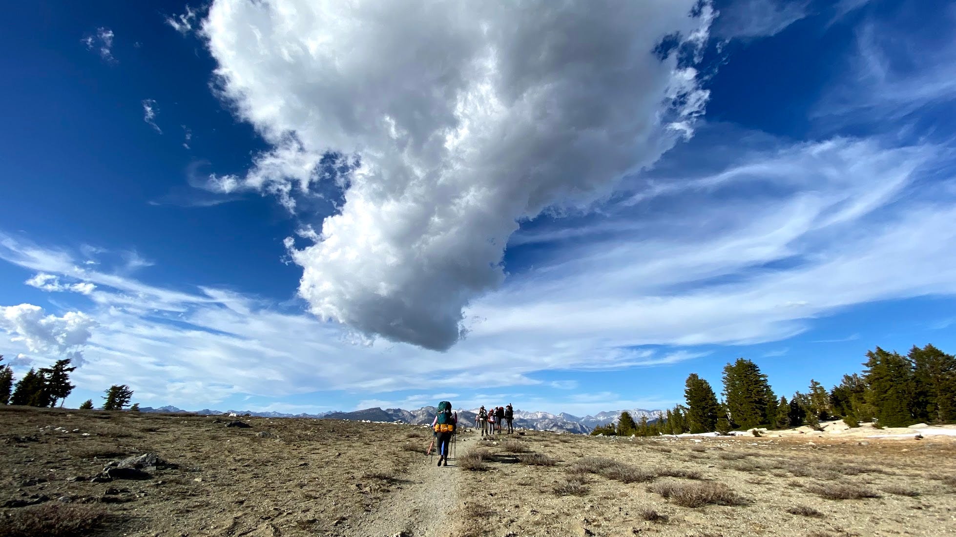
As you walk towards the ridge, the ominous clouds start to be close to you that you can feel them and touch them.
A lot of the photos in this are credited to Raja Ramakrishnan, my photographer buddy who was backpacking for the first time and managed to pull off astonishing photos like the one below (among others) while dealing with the backpack and the trail. Honestly, I can’t wait to see what kind of photos he is going to pull off as he keeps backpacking.
First sighting off the mountains over the ridge takes your breath away.
We ran into snow on the trail for the first time. Easily passable.
Then you start to descend towards the Ten Lakes basin along the sharp switchbacks, which are harder to go down.
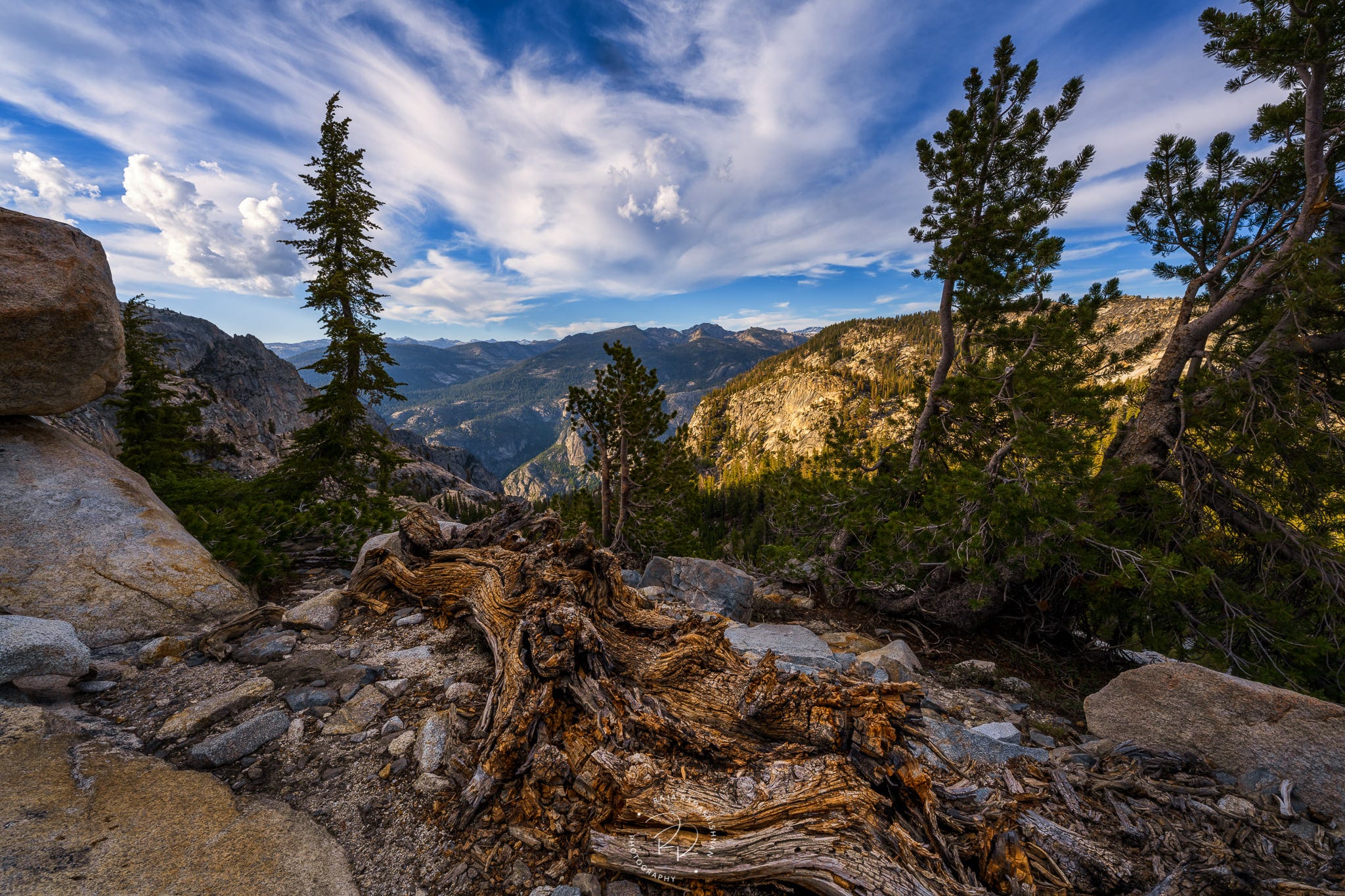
The Grand Canyon of the Tuolumne River is towards the South of the ridge and is accessible via a “Social Trail”, which is just before the descent. You have to walk 0.2 miles to the edge of the ridge to see the valley towards Hetch Hetchy. We were running out of time and we did not stop to see it the first day (a decision we regret now).
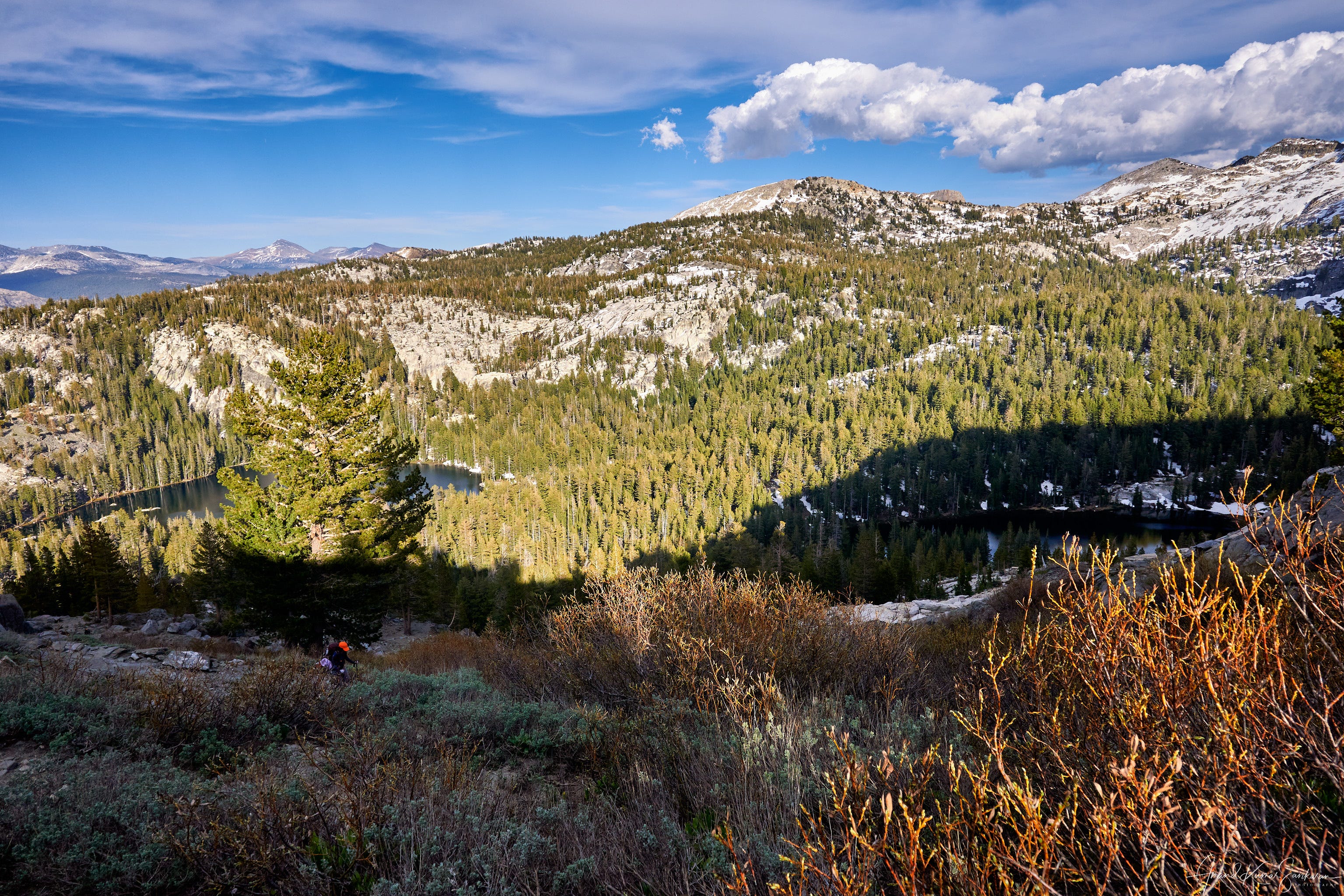
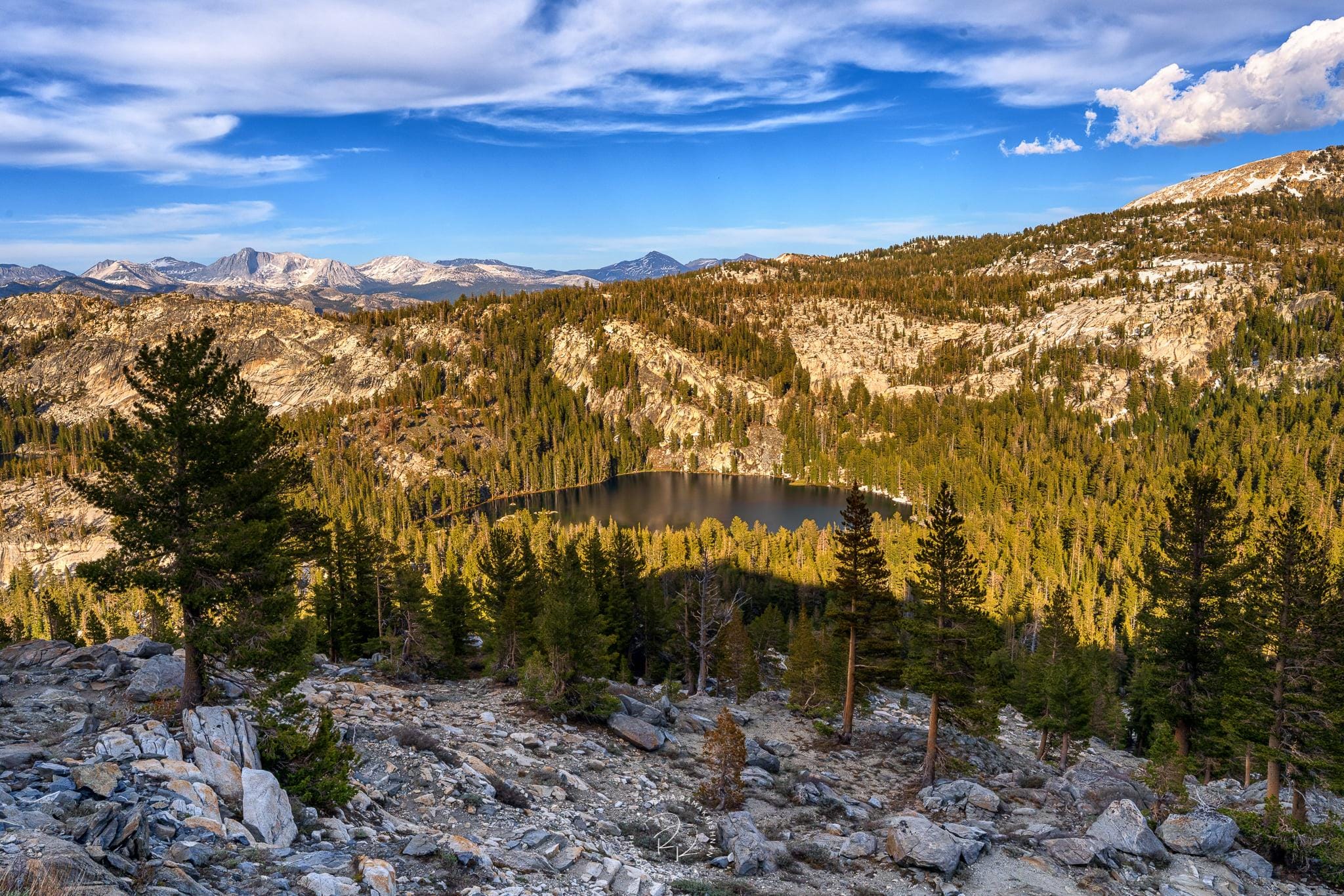
From the switchbacks, you start to see the first lake (far left), bigger second lake (middle) and third lake to its right. We had scoped out the campsites on Google Earth and figured that between the second and third lakes there was ample flat area to pitch tents so that is where we were headed.
Lake three looks magnificent nestled in the shadows.
Along the trail, you get a peek of the Grand Canyon, but not a clear view.
Lakes 1, 2 and 3, as the sun starts to go down and dramatic clouds.
Lake 2 - we knew where we were going to camp.
We lose about 650 feet in 0.75 miles or so and reach the basin. You have to cross a creek at the bottom of the switchbacks over this log. But even this early in the season, the creek is not full and easily passable, which does not bode well for this year’s water or fire season :(.

There was a lot of snow in the campground, but plenty of open areas to pitch our tents by the banks of second lake.
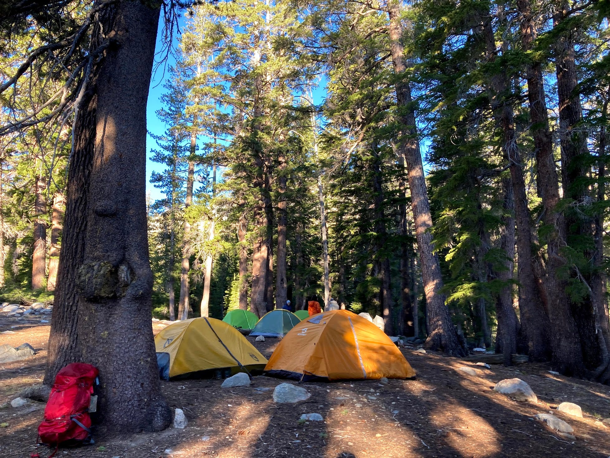
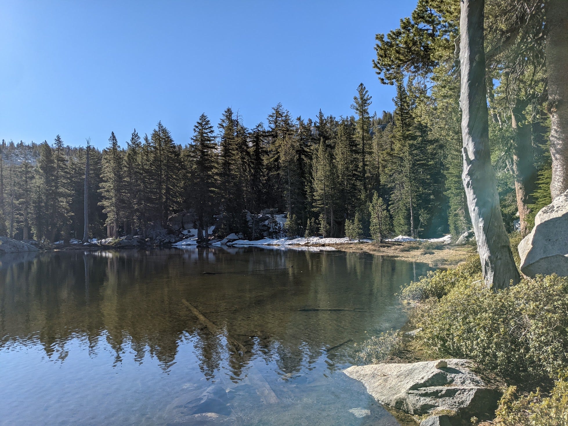
The next morning, the alpine lake was serene and beautiful.
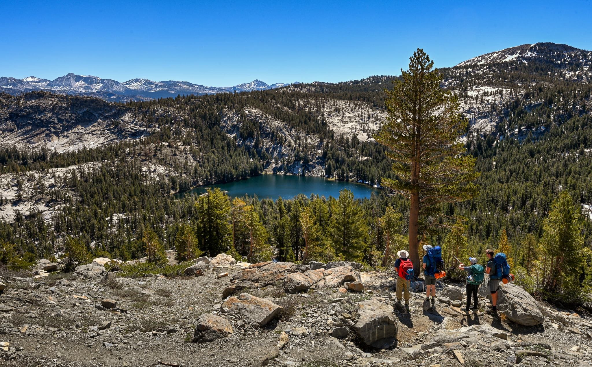
The next day, we start in the reverse direction. The 700 feet of drop the previous night has to be made up, but at least this time with fresh legs.
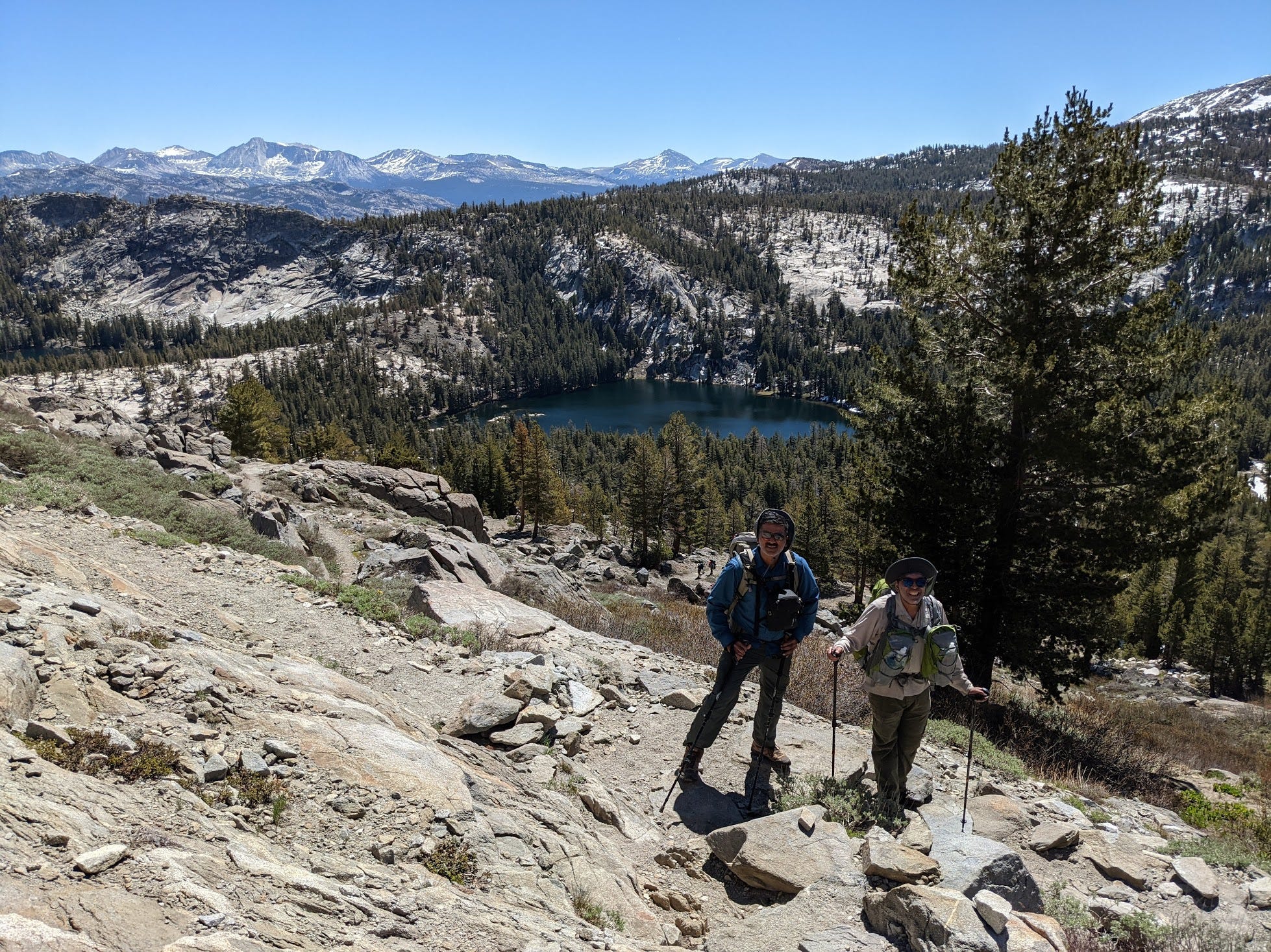
Backpackers take in the view as they climb up.
At the top, we hiked the social trail to take in the view of the magnificent Grand Canyon of the Tuolumne River.
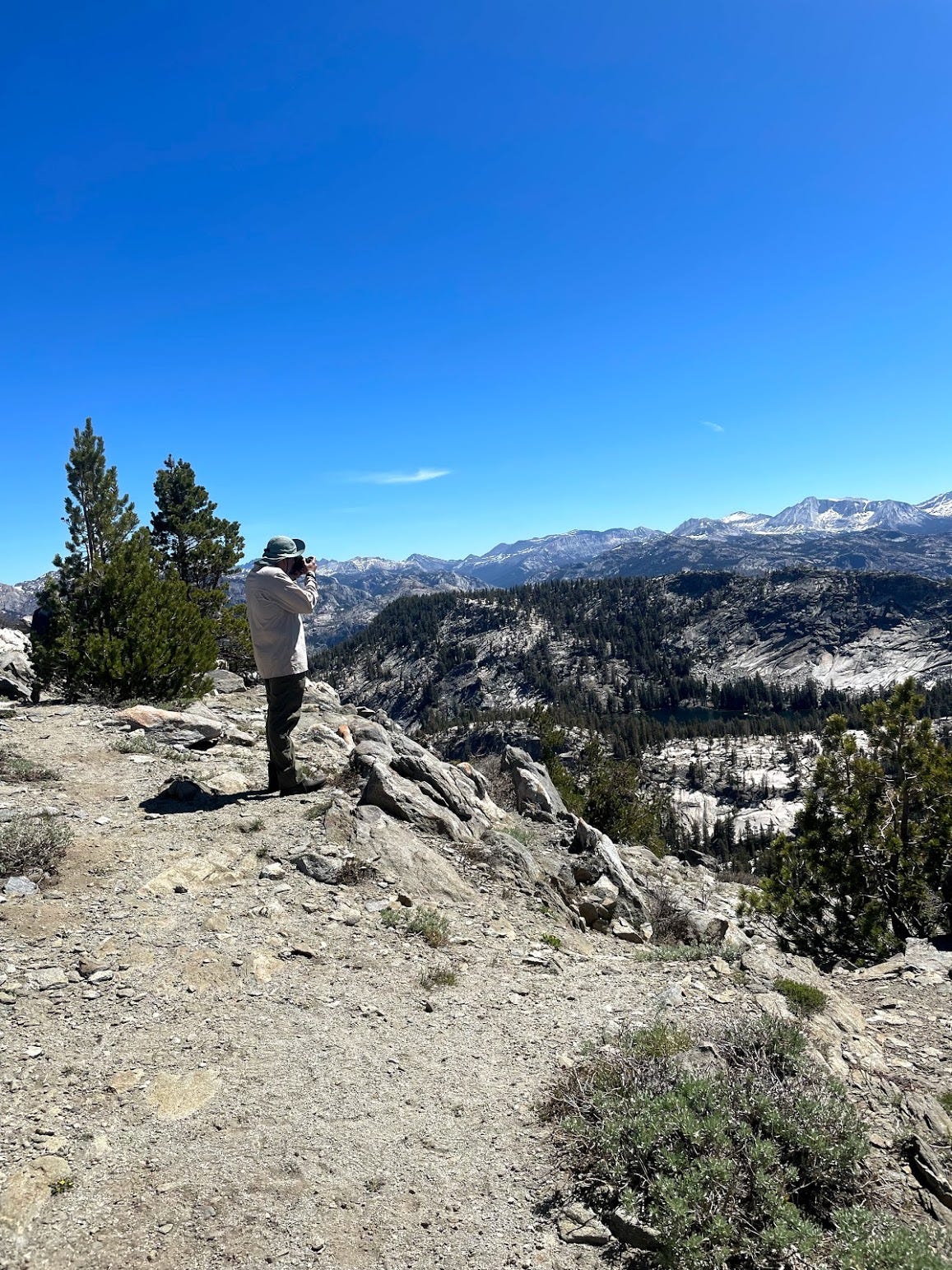
Hetch Hetchy is to the left of the photo here. Far in the distance are the mountain ranges of the Sierra Nevada. We could sight the Matterhorn, Mt. Conness, Mt. Dana, Mammoth mountain among the few. Fantastic view.
This view makes me hike the Grand Canyon of the Tuolumne trail, which is now added to the bucket list.
Unwind the switchbacks to the meadow again.

Through the granite slabs.
and the burnt trees.
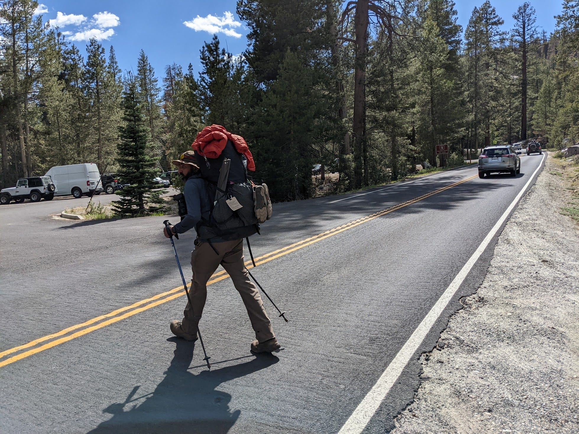
and back to the parking lot.
Here are the relive tracking of day 1:
https://www.relive.cc/view/vPOpY5yr4E6
and day 2:
https://www.relive.cc/view/vevWpnrBwyO
It took us roughly 7 hours each way to finish the hike. Tough hike, enjoyable particularly to see the Grand Canyon of Tuolumne River.
Highly recommended.